


Air Temperatures – The following high temperatures (F) were recorded across the state of Hawaii Wednesday…along with the low temperatures Wednesday:
77 – 67 Lihue, Kauai
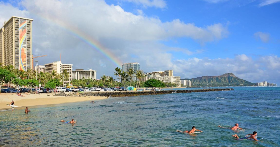
78 – 67 Honolulu, Oahu
77 – 69 Molokai AP
82 – 67 Kahului AP, Maui
85 – 74 Kailua Kona
80 – 71 Hilo AP, Hawaii
Here are the latest 24-hour precipitation totals (inches) for each of the islands Wednesday evening:
0.05 Hanapepe, Kauai
0.60 Ahuimanu Loop, Oahu
0.05 Molokai
0.02 Lanai
0.00 Kahoolawe
0.12 West Wailuaiki, Maui
0.60 Honokaa, Big Island
The following numbers represent the strongest wind gusts (mph) Wednesday evening:
07 Waimea Heights, Kauai
10 Kuaokala, Oahu
12 Molokai
09 Lanai
24 Kahoolawe
17 Maalaea Bay, Maui
22 Kealakomo, Big Island
Hawaii’s Mountains – Here’s a link to the live webcam on the summit of our tallest mountain Mauna Kea (nearly 13,800 feet high) on the Big Island of Hawaii. Here’s the webcam for the Haleakala Crater on Maui. These webcams are available during the daylight hours here in the islands, and at night whenever there’s a big moon shining down. Also, at night you will be able to see the stars — and the sunrise and sunset too — depending upon weather conditions.
Aloha Paragraphs

Low pressure north…with the tail-end of a cold front just east of the Big Island

Multi-layered clouds

Partly to mostly cloudy skies over the islands

Showers…around Kauai and Oahu,
~~~ Hawaii Weather Narrative ~~~
Flood Watch…Niihau, Kauai, and Oahu
Broad Brush Overview: The long lasting high cirrus clouds over the state will thicken over the next few days, while lower level clouds and showers will spread from the Big Island up over the smaller islands. Meanwhile, the overlying atmosphere will become increasingly unstable, as an upper level trough of low pressure pushes toward the state. Cloudy, muggy, and unsettled conditions are expected to develop as a result, with the greatest likelihood of rainfall concentrating over the western end of the state…into at least Friday. The upper level trough will pass overhead during the weekend, likely bringing a return of northeasterly trade winds Sunday into next week.
Details: The remnant moisture associated with the dissipated cold front remains near the Big Island, although is beginning to migrate northward towards Maui County. The current dry and stable airmass over the smaller islands will give way to a wetter and unstable atmosphere, as an upper level trough of low pressure arrives. This trough will pull moisture in from the deeper tropics to our south…and tap into the moisture from the dissipated front.
Higher level clouds will continue to thicken, and the chance for rain will increase as the upper level trough northwest of Kauai…slowly advances toward the state. This will steadily erode the low inversions over the smaller islands, and lead to more shower prone conditions. Light rainfall will remain possible over the smaller island, with modest showers still favoring windward slopes under the weak trade wind flow.
Increasing instability moves over the islands tonight and Thursday from the west. At this time, the threat of heavy rainfall appears to be greatest near Kauai…and perhaps edging over towards Oahu as well. The Flash Flood Watch remains posted for Kauai and Oahu starting tonight, and running through late Thursday night, during the time when the highest possibility for heavy rainfall, and possible flooding issues occur.
Looking Ahead: As we push into Friday, we have a few differences in how the models are handling our weather circumstances. The upper level trough is expected to weaken, although the models diverge on the placement of the low level moisture and convergence, though the focus is generally near Kauai. A change appears to be in store during the weekend, although the models have yet to agree on the details and timing, these models show the upper level trough swinging over the state. This should slowly push the band of low level moisture, then likely a weak front, down the island chain. Northeasterly trade winds are expected to build in from west to east Sunday. A return to a more typical May pattern of breezy trade winds and windward showers…is looking increasingly likely Monday onward.
Here’s a wind profile of the Pacific Ocean – Closer view of the islands / Here’s the vog forecast animation / Here’s the latest weather map
Marine environment details: Moderate trades are forecast to gradually fill in, as a weak ridge of high pressure pushes eastward to the north of the islands. The remnants of a frontal boundary, currently southeast of the Big Island, is forecast to begin drifting back over the islands through Friday, causing the probability for rainfall to increase statewide. Winds could drop off once again this coming weekend, as another cold front approaches. Surf along east facing shores may rise slightly over the next couple of days…in response to the increase in wind speed.
Surf along north facing shores will continue to trend down through the rest of the week, resulting in minimal surf over the next several days. Looking ahead into early next week, models show another large northerly swell that could arrive as early as Sunday night. Elsewhere, small to moderate surf along south facing shores is forecast to hold through the week…as reinforcing small south-southwest swells from the southern Pacific move through. The next reinforcement is expected to arrive Wednesday with two overlapping south-southwest sources arrive over the weekend. Winds and seas will stay below Small Craft Advisory (SCA) criteria.
World-wide Tropical Cyclone activity
Here’s the Wednesday Pacific Disaster Center (PDC) Weather Wall Presentation…covering a tropical disturbance being referred to as Invest 96W in the western Pacific Ocean
![]()
>>> Atlantic Ocean:
>>> Caribbean Sea:
>>> Gulf of Mexico:
Here’s a satellite image of the Caribbean Sea…and the Gulf of Mexico
Here’s the link to the National Hurricane Center (NHC)
>>> Eastern Pacific:
Here’s a wide satellite image that covers the entire area between Mexico, out through the central Pacific…to the International Dateline.
Here’s the link to the National Hurricane Center (NHC)
>>> Central Pacific:
Here’s a link to the Central Pacific Hurricane Center (CPHC)
>>> Northwest Pacific Ocean: No active tropical cyclones
>>> North and South Indian Oceans / Arabian Sea: No active tropical cyclones
Here’s a link to the Joint Typhoon Warning Center (JTWC)
Interesting: ‘Cork’ Glacier Holding Back Sea Level Rise May Pop – The seas are rising, although just how dire is the situation? That’s the question that a huge team of international scientists is hoping to answer as it prepares to launch a major study of one of the main culprits of sea level rise: the Thwaites glacier.
More than 100 scientists from the U.S., United Kingdom, and other countries will begin a $27.5 million study of the glacier, which is located in West Antarctica, according to a report in The Guardian. Thwaites, is one of a small cluster of glaciers that act like corks, holding back the enormous ice masses of the West Antarctic Ice Sheet. And, like its cousins, Thwaites’ melting has accelerated rapidly in recent years.
According to The Guardian, ice from Thwaites streaming into the ocean accounted for about 4 percent of total global sea level rise in recent years — twice its contribution from the mid-1990s. That’s a significant amount of water coming off of one glacier. The National Oceanic and Atmospheric Administration reports that, globally, sea level has risen about 2.6 inches above the 1993 average, and it continues to rise by about one-eighth of an inch per year. Studying Thwaites, the scientists hope, could help them figure out how much worse the situation is going to get.
Glaciers like Thwaites matter a great deal to sea level for a simple reason: They’re large masses of landlocked ice that hold back even larger masses of ice, keeping them from sliding into the sea.
Landlocked ice changes sea level because when it melts, it introduces new water to the ocean, and this water isn’t likely to leave the ocean anytime soon. Sea ice, on the other hand, like the ice cap in the Arctic, can have major effects on climate when it melts. But it’s fundamentally water that’s already in the ocean. Whether it’s liquid or solid doesn’t directly affect sea level around the world.
But Thwaites and its ilk are the main feeders of water mass driving sea level rise. And as scientists have studied these ice masses, they’ve only discovered more signs of how bad the situation is — and how bad it could get. Back in 2013, for example, scientists found “swamp-like waterways” under Thwaites that strip away its ice mass and lubricate it against the ground, accelerating its rush toward the sea.
The new project aims to understand the situation at Thwaites in greater detail than ever before and offer a deeper peek into our collective climate future.
Jacob Says:
Will the heavy rains be likely in Waikiki?
~~~ Hi Jacob, yes there’s a chance of locally heavy rain tonight through Thursday.
Aloha, Glenn
Jesse Says:
Despite the constant clouds, we are having a magical trip to the big island – snorkeling with manta rays and dolphins, watching the boiling lava lake at Kilauea’s summit. Incredible!
Now we’re wondering which forecast would apply to the Mauna Kea visitor’s center at 9,200 ft elevation – summit or interior? We’re hoping for a clear night to head up there for stargazing over the next four evenings (Weds through Sat nights).
Thank you!
~~~ Hi Jesse, great to hear about your fun outdoor activities! Clouds aren’t going to stop you from enjoying your time.
As for viewing from up the mountain on the Big Island, it looks to me like the Interior sections are up to around 8,000 feet…with the summits up above that.
It looks as if Saturday night might be your best bet…with those ever present high clouds at nights until then. However, you may want to keep an eye on the satellite imagery…to see how the summits are doing between now and then.
Best of luck, and don’t forget to take your jackets.
Aloha, Glenn