


Air Temperatures – The following high temperatures (F) were recorded across the state of Hawaii Wednesday…along with the low temperatures Wednesday:
69 – 60 Lihue, Kauai – the old max low record for the date was 72 degrees
74 – 70 Honolulu, Oahu – 74 tied the max low record for the date
70 – 66 Molokai
72 – 68 Kahului AP, Maui – the old max low record for the date was 74 degrees
77 – 70 Kailua Kona
72 – 68 Hilo AP, Hawaii – the old max low record for the date was 73 degrees
Here are the latest 24-hour precipitation totals (inches) for each of the islands as of Wednesday evening:
1.22 Kilohana, Kauai
1.91 Maunawili, Oahu
2.81 Molokai
1.19 Lanai
1.38 Kahoolawe
7.56 Wailuku, Maui
2.27 Hilo AP, Big Island
The following numbers represent the strongest wind gusts (mph) as of Wednesday evening:
25 Lihue, Kauai
31 Kuaokala, Oahu
21 Molokai
24 Lanai
20 Kahoolawe
14 Maalaea Bay, Maui
18 Kohala Ranch, Big Island
Hawaii’s Mountains – Here’s a link to the live webcam on the summit of our tallest mountain Mauna Kea (nearly 13,800 feet high) on the Big Island of Hawaii. Here’s the webcam for the Haleakala Crater on Maui. These webcams are available during the daylight hours here in the islands, and at night whenever there’s a big moon shining down. Also, at night you will be able to see the stars — and the sunrise and sunset too — depending upon weather conditions.
Aloha Paragraphs

A cold front is moving through the eastern islands

Deep clouds over most of the state

Mostly cloudy

Showers locally…heavy in some areas
Looping image
Flash Flood Watch…Maui County and the Big Island
Marine Weather Statement…large north swell sending surges into Kahului and Hilo harbors
High Wind Warning…Big Island summits
Winter Storm Warning…Big Island summits
High Surf Advisory…north and east shores of the Big Island, Maui, Molokai, Oahu and Kauai
Small Craft Advisory…North swell over windward waters on all of the islands
~~~ Hawaii Weather Narrative ~~~
Christmas Day forecast: generally fair weather with light winds and mostly dry
Broad Brush Overview: A cold front will combine with a developing low in the upper atmosphere, to bring heavy rain and thunderstorms to Maui County and the Big Island through tonight. The front will push slowly across Maui County and the Big Island, with a cooler and drier air mass arriving in the fronts wake. Another weaker front will bring an increase in clouds and light showers Friday night and Saturday, mainly to the north and east facing slopes and coasts. Lighter winds and mostly dry weather are expected Sunday and Christmas day, although another front may bring increased showers Tuesday into the middle of next week.
Details: Strong dynamics are creating widespread atmospheric lift across much of the state. In addition, the surface cold front will continue pushing down across the central and eastern islands. These active environmental conditions will combine to produce widespread precipitation, with periods of locally heavy rainfall and isolated thunderstorms. Locally breezy northerly winds will continue to fill in behind the cold front as it progresses down the island chain…along with cooler and drier conditions.
This first cold front will be east of the state by Thursday. Surface high pressure will shift southward, and be near the island chain Thursday night and Friday. Cool and fairly dry conditions, along with locally breezy north to northeast winds are expected Thursday. There will be some lingering shower activity over the Big Island through the morning hours. Cool and fairly dry weather will follow statewide Thursday night and Friday, although scattered showers will move over the north facing slopes and coasts, with a few being carried into the leeward areas on the smaller islands.
Looking Further Ahead: The next cold front is expected to approach from the northwest late Friday, and push southward into the vicinity of Kauai during the night. The models dissipate this cold front early in the weekend. Surface winds are forecast to become moderate trades starting Friday night. This low level trade wind flow will focus most of the showers across windward and mountain areas. Showers are expected to decrease in coverage later in the weekend into early next week. Winds will diminish Christmas Day, as yet another cold front approaches the state from the northwest late Tuesday…with some of the models portraying heavy rains Wednesday.
Here’s a wind profile of the Pacific Ocean – Closer view of the islands / Here’s the vog forecast animation / Here’s the latest weather map
Marine environment details: Surf along north facing shores is forecast to remain up through Thursday, then gradually lower through Friday, as a large northerly swell continues to impact the area. The small craft advisory remains in effect through early Thursday. The high surf advisory has been extended through Thursday.
The active pattern will continue into the weekend as a series of northwest swells move through and impact the area. Surf may near or reach advisory levels along north and west facing shores late Saturday through Sunday. Models depict a very large northwest swell arriving late next Tuesday through Wednesday, which could lead to warning level surf along north and west facing shores.

Unsettled weather…over much of the state
World-wide Tropical Cyclone activity
>>> Here’s the Wednesday PDC Weather Wall Presentation, covering Tropical Depression 32W (Kai-Tak) moving out into the South China Sea…and Tropical Depression 33W in the western Pacific Ocean
![]()
>>> Atlantic Ocean:
>>> Caribbean Sea:
>>> Gulf of Mexico:
Here’s a satellite image of the Caribbean Sea…and the Gulf of Mexico
Here’s the link to the National Hurricane Center (NHC)
>>> Eastern Pacific:
Here’s a wide satellite image that covers the entire area between Mexico, out through the central Pacific…to the International Dateline.
Here’s the link to the National Hurricane Center (NHC)
>>> Central Pacific:
Here’s a link to the Central Pacific Hurricane Center (CPHC)
>>> Northwest Pacific Ocean:
Tropical Storm 32W (Kai-Tak) remains active, here’s a graphical track map…and a satellite image
Tropical Storm 33W remains active, here’s a graphical track map…and a satellite image
>>> North and South Indian Oceans / Arabian Sea: No active tropical cyclones
Here’s a link to the Joint Typhoon Warning Center (JTWC)
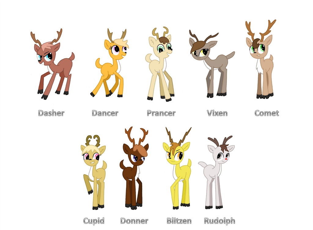
Interesting: Are Santa’s Reindeer Males? – Impossible, scientists say. Here’s why: Here on the ground, male reindeer shed their antlers at the end of the mating season in early December, while females sport their thinner antlers throughout the winter.
Sounds like Rudolph and the gang were all gals.
“It appears that way,” said physiologist Perry Barboza of the Institute of Arctic Biology, University of Alaska at Fairbanks, who studies reindeer and their closest cousins, caribou. Scientists consider reindeer and caribou the same species.
Santa, turns out, did some savvy hiring of his prancing parade. These antlered deer (Rangifer tarandus) are used to the cold. They live in Alaska, Canada, Scandinavia and Russia, where they graze on tundra plants. So, even though pudgy Santa must bundle himself beneath a red-velvet suit, sleigh-pulling reindeer are naturally covered with hollow hairs that trap in air and keep them well-insulated. Plus, their circulatory systems keep the cooler blood in the reindeer’s limbs from drawing heat from the warm blood in their core body.
While all reindeer would be equipped for an Arctic journey, though a flightless one, females might have the edge over their male counterparts.
When the Christmas journey rolls around, male reindeer carry as low as 5 percent body fat, having lost much of their fatty stores during the energy-sapping mating season.
Female reindeer, however, enter winter with about 50 percent body fat, making them “seals on hooves,” Barboza said. The fat, which can be a couple of inches thick on their rumps, keeps the reindeer toasty in temperatures as low as minus 45 degrees Fahrenheit (minus 43 degrees Celsius). Which leaves us wondering, however, how they can be “faster than eagles,” as legend has it.
Santa’s reindeer have another hoof up on other animal sleigh pullers: They can see in the ultraviolet range of the electromagnetic spectrum, something humans (and Santa) can’t do. This vision ability will come in handy in the winter, said researchers who published a review of reindeer research in the journal Frontiers for Young Minds in 2015, as the sun is low on the horizon during Christmas season with lots of light scattering from the atmosphere. Result? The light that hits our eyes is mainly blueish and ultraviolet, the researchers said.
In addition, reindeer eyes are equipped with a reflective tissue behind the retina that reflects light back through the retina, enhancing night vision, said researchers in 2013 who found this layer of tissue changes color through the seasons. In Arctic summers, when there’s constant daylight, the tissue is yellow and so reflects a bunch of light back out of the eyes; in winter, when there’s complete darkness, the tissue turns a deep blue — a color that reflects less incoming light out of the eye, researchers from the University College London said in a statement.
Melissa Jenks-Olivit Says:
we are now at 11.58 inch since midnight. (the mean of 2 gauges )
~~~ Hi Melissa, a virtual deluge!
Aloha, Glenn
Maggie Says:
We’ve gotten over 7” here near Giggle Hill according to my rain gauge. Pounding rain litterally kept me up last night. Plenty of local erosion and reports of flooded and impassable roads. This has tuned out to be a rather nasty front – one that is particularly slow moving over the eastern islands. Ugh.
~~~ Hi Maggie, I can understand your Ugh, heavy rains and flooding just before Christmas, can interrupt Christmas shopping, etc.
The threat of heavy rains and even severe thunderstorms remains possible tonight, and may continue through much of Thursday…a double Ugh Ugh I guess!
The good news is that Christmas Day should be pretty nice, although then more rain Tuesday into next Wednesday…oops!
At any rate, hang in there, and Happy Holidays.
Aloha, Glenn
Melissa Jenks-Olivit Says:
Hi Glenn,
9.45 inches of rain since midnight. Rain started at 01:15
Haiku, just below 5 corners
~~~ Hi Melissa, that is “major rainfall”…thanks for letting us know!
Aloha, Glenn