


Air Temperatures – The following high temperatures (F) were recorded across the state of Hawaii Saturday…along with the low temperatures Saturday:
82 – 69 Lihue, Kauai
86 – 69 Honolulu, Oahu
82 – 69 Molokai
85 – 63 Kahului AP, Maui
83 – 71 Kona Int’l AP
81 – 67 Hilo AP, Hawaii
Here are the latest 24-hour precipitation totals (inches) for each of the islands as of Saturday evening:
0.79 Hanapepe, Kauai
0.94 Honouliuli, Oahu
0.04 Molokai
0.00 Lanai
0.00 Kahoolawe
0.15 Kaupo Gap, Maui
1.75 Puho CS, Big Island
The following numbers represent the strongest wind gusts (mph) as of Saturday evening:
14 Moloaa Dairy, Kauai
18 Honolulu AP, Oahu
20 Molokai
15 Lanai
24 Kahoolawe
21 Maalaea Bay, Maui
28 Kealakomo, Big Island
Hawaii’s Mountains – Here’s a link to the live webcam on the summit of our tallest mountain Mauna Kea (nearly 13,800 feet high) on the Big Island of Hawaii. This webcam is available during the daylight hours here in the islands, and at night whenever there’s a big moon shining down. Also, at night you will be able to see the stars — and the sunrise and sunset too — depending upon weather conditions.
Aloha Paragraphs

A cold front far northwest of Hawaii

A few thunderstorms far south of the state

Clear to partly cloudy

Just a few showers – Looping radar image
~~~ Hawaii Weather Narrative ~~~
Broad brush overview: An increasingly stable trade wind flow will develop over the islands today, with only a few showers expected over leeward areas this afternoon. A strengthening ridge of high pressure northwest of the state, will drive increased trade winds, and will push a weak band of moisture over us late tonight through Monday…mainly windward showers on the smaller islands. A humid southerly flow will develop late Tuesday and Wednesday ahead of an approaching cold front. This late season front will weaken and stall over the smaller islands Thursday.
Details: An upper trough of low pressure, which triggered locally heavy showers the past few days, has moved east of the area, with a more stable airmass now over the islands. Light to moderate trade winds will prevail today with some sheltered leeward areas seeing sea breezes this afternoon. Shower activity will be less active, with the stable conditions keeping cloud growth limited.
High pressure will build northwest of the state Sunday, with the trade winds increasing. An old frontal boundary will be carried in on the strengthening trades, bringing showers to the windward sides. The trades weaken by Tuesday. The high pressure system will be pushed eastward by an approaching cold front from the west. The front will turn winds southeast Tuesday, and south Tuesday night into Wednesday. Humidity levels will increase with the southeast and southerly winds, and volcanic haze (vog) will linger over the smaller islands into Wednesday.
Looking ahead: Later Wednesday the winds veer southwest, as the cold front gets closer. Low level moisture ahead of the front will bring passing showers over the smaller islands. The primary weather change will be the humidity, as the Kona flow increases moisture…bringing muggy conditions our way. Models then show a late season cold front reaching Kauai Thursday. One of the models is a bit more aggressive with the front, moving it to Maui County before dissipating Saturday. The second model is weaker with the front, bringing it over Kauai Thursday, then stalling it there through Friday…time will tell.
Here’s a wind profile of the Pacific Ocean – Closer view of the islands / Here’s the vog forecast animation / Here’s the latest weather map
Marine environment details: Light to moderate trade winds will prevail tonight, then increase Sunday into Monday, as high pressure builds north of the area. Winds may reach Small Craft Advisory (SCA) levels over the typically windier waters around Maui County and the Big Island by late Sunday night or Monday. These stronger winds will be short-lived however, with flow expected to weaken and veer around to the southeast Tuesday, as the high pressure area shifts eastward and another front approaches the region from the northwest. South and southwest winds may approach SCA levels across parts of the waters Wednesday as the front moves closer to the state.
The current northwest swell will continue today, then gradually lower through the rest of the weekend. Surf along north and west facing shores is expected to remain below advisory levels. Another fairly small northwest swell is expected to arrive late Monday, lingering through Wednesday.
Surf along south facing shores will remain a bit above normal, although below advisory levels through the weekend, due to an early season south swell. A similar south swell is possible during the first half of the new week…due to a recent storm activity across the South Pacific.
Surf along east facing shores will remain small today due to the rather light trade winds, although will begin to rise once again by the end of the weekend, as the trades return and a small north-northeast swell fills in.
In the long term, the latest wave model guidance continues to depict a large northwest swell impacting the islands beginning next Thursday. If this swell arrives as projected, surf along exposed north and west facing shores could approach warning levels sometime Thursday or Friday.
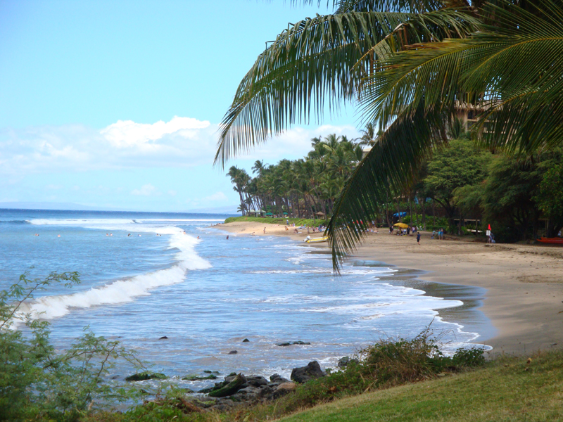
Generally ok weather, trade winds…some showers mostly windward
Southern California weather summary: Low clouds and patchy fog are expected to develop over coastal areas late tonight into Sunday morning. Two storm systems will bring a chance of precipitation to Southwest California, mainly for Santa Barbara and San Luis Obispo Counties, from late Sunday through Tuesday. For Wednesday through Friday, offshore breezes will bring mostly clear skies…and a warming trend to the area.

Fair weather over Southern California

Increasing clouds
World-wide tropical cyclone activity
![]()
>>> Atlantic Ocean: The 2017 hurricane season begins June 1st
Here’s a satellite image of the Atlantic Ocean
>>> Caribbean: The 2017 hurricane season begins June 1st
>>> Gulf of Mexico: The 2017 hurricane season begins June 1st
Here’s a satellite image of the Caribbean Sea…and the Gulf of Mexico
Here’s the link to the National Hurricane Center (NHC)
>>> Eastern Pacific: The 2017 hurricane season begins May 15th
Here’s the NOAA 2016 Hurricane Season Summary for the Eastern Pacific Basin
Here’s a wide satellite image that covers the entire area between Mexico, out through the central Pacific…to the International Dateline.
Here’s the link to the National Hurricane Center (NHC)
>>> Central Pacific: The 2017 hurricane season begins June 1st
Here’s the NOAA 2016 Hurricane Season Summary for the Central Pacific Basin
Here’s a link to the Central Pacific Hurricane Center (CPHC)
>>> Northwest Pacific Ocean:
Tropical Depression 02W is dissipating over the Philippines, here’s the graphical track map, a satellite image – Final Warning
>>> North and South Indian Oceans / Arabian Sea:
Tropical Cyclone 01B (Maarutha) remains active in the Bay of Bengal, here’s the graphical track map, a satellite image…and what the computer models are showing
Here’s a link to the Joint Typhoon Warning Center (JTWC)
Interesting: New study emphasizes the relative scarcity of lake water – What is the volume of water in lakes on Earth? Using a mathematical analysis, researcher David Seekell, at Umeå University, and his American collaborators now suggest that the mean depth of lakes is 30 per cent lower than previously estimated. Shallower lakes implies less fresh water and has consequences for our understanding of climate change and the carbon cycle. The results have been published in Geophysical Research Letters.
“Our estimations measure around 190,000 km3, which is a very small amount of water. In comparison, the ocean contains 1.3 billion km3 of water. If we poured the water of all lakes on Earth together into one big lake, the mean depth of the lake would be 42 metres. The mean depth of the ocean is 3,682 metres,” says David Seekell, associate professor at the Department of Ecology and Environmental Sciences and the Climate Impacts Research Centre (CIRC) at Umeå University in Sweden.
A possible conclusion is if lakes are shallower, they release more methane into the atmosphere than previously estimated.
Measuring the volume of the lakes on Earth seems like a simple task. Nevertheless, the challenges to carry out a measurement on a global scale are huge. Satellites can measure the volume of very large lakes, such as for instance Lake Vättern in Sweden or Lake Superior in the United States and Canada, but measuring the tens of millions of small lakes spread across the surface of the Earth requires time-consuming field work. A commonly used method is GPS positioning and depth sounder by boat. The researcher is required to row around on the lake until he or she has collected a large number of depths. The depths and coordinates are later used to build bathymetric maps which the volume and mean depth can be derived from. The approach works well for small lakes, but is expensive due to the time-consuming process and only a small number of lakes can be mapped.
A model in theory
So far, there have been few estimates of the volume of fresh water in lakes on Earth, and those that exist vary greatly and are typically presented without any data or methods.
“We decided to use a theory driven approach. We assumed that the surface of the Earth is self-affine. This basically means that if you zoomed in and out of a cross-section of the Earth’s surface, the statistical characteristics of the vertical topography are predictable based upon a stretching factor,” says David Seekell.
The researchers evaluated their model with measured volumes from thousands of lakes from diverse landscapes. The presumptions proved accurate and based upon this model, the researchers were able to deduce a theoretical volume-area relationship.
“We were able to use the model to estimate the mean volume of lakes at each given lake surface area, but also for variations in volume of lakes with the same surface area. Given the total lake surface area on Earth – which can actually be accurately recorded by satellite, even for small lakes – we were now able to estimate the total volume and assess the uncertainty in the estimate,” says David Seekell.
The research team assessed that there are 184,000-199,000 km3 of lake water. The reason behind the variation can be explained by how lakes are counted and how their surface area is measured, particularly the smaller ones.
The majority of lake water can be found in a few very large lakes such as the Caspian Sea, Lake Superior, and Lake Baikal. In fact, about 80 percent of lake water can be found in the 20 largest lakes alone.
A scarce natural resource
The quality and quantity of lake water can rapidly change due to human activities. For example, in some regions many ponds and reservoirs have been built for ornamental purposes, for irrigation, to generate electricity, or to store drinking water, which increasing the volume of fresh water.
On the other hand, some large lakes have dried up and disappeared. For example, Lake Poopo in Bolivia previously had a surface area of about 3,000 km2 and was one of the largest lakes in Bolivia. Due to climate change and water diversions for agricultural production, there is almost no water left, which greatly affects local communities. A very similar story can be told about the Aral Sea – once the fourth largest lake on Earth – where climate change and water diversions for agriculture have left only a tiny fraction of its former surface.
It is not only quantity that is of great concern at the moment. The water quality of the largest lakes on Earth are subject to degradation due to human activities. For example, Lake Erie in the United States and Canada with a surface area of about 25,667 km2 has been exposed to nutrient pollution and harmful algae blooms. This has rendered the lake an unreliable source for drinking water for communities along the shoreline. As a consequence, over 400,000 people even lost access to drinking water due to neurotoxins in the lake water associated with algae bloom in 2014.
“Our study emphasizes the relative scarcity of lake water, and how rapidly human activities can change the quality and quantity of water resources,” says David Seekell.
Dan Says:
Hi Glenn,
Miss your movie reviews.
Thanks for your site,
Dan
~~~ Thanks for letting me know Dan, they’ll return.
Aloha, Glenn