


Air Temperatures – The following high temperatures (F) were recorded across the state of Hawaii Sunday…along with the low temperatures Sunday:
82 – 67 Lihue, Kauai
82 – 71 Honolulu, Oahu
83 – 62 Molokai
85 – 65 Kahului AP, Maui
84 – 72 Kona Int’l AP
85 – 66 Hilo AP, Hawaii
Here are the latest 24-hour precipitation totals (inches) for each of the islands as of Sunday evening:
0.20 Omao, Kauai
0.12 Kii, Oahu
0.00 Molokai
0.00 Lanai
0.00 Kahoolawe
0.00 Maui
1.57 Kealakomo, Big Island
The following numbers represent the strongest wind gusts (mph) as of Sunday evening:
16 Makaha Ridge, Kauai
14 Kuaokala, Oahu
09 Molokai
15 Lanai
16 Kahoolawe
18 Maalaea Bay, Maui
21 South Point, Big Island
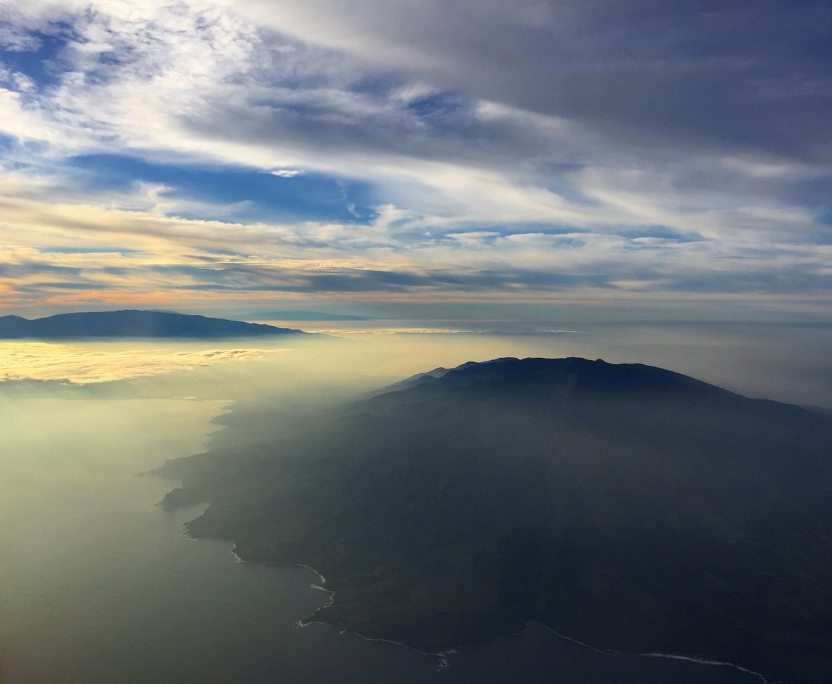
Hawaii’s Mountains – Here’s a link to the live webcam on the summit of our tallest mountain Mauna Kea (nearly 13,800 feet high) on the Big Island of Hawaii. This webcam is available during the daylight hours here in the islands, and at night whenever there’s a big moon shining down. Also, at night you will be able to see the stars — and the sunrise and sunset too — depending upon weather conditions.
Aloha Paragraphs

Vast area of low pressure well northwest through northeast of Hawaii

A cold front…with its associated clouds to the north of Hawaii

Clear to partly cloudy…with the most notable clouds just north of Hawaii

Showers locally – Looping radar image
~~~ Hawaii Weather Narrative ~~~
High Surf Advisory…north and west shores of Kauai, Oahu Molokai, and north shore of Maui
Broad brush overview: A weak surface ridge of high pressure will persist in the vicinity of the islands, maintaining light winds with muggy and hazy conditions across the state for at least a couple of days. Afternoon onshore sea breezes will prompt cloud build ups, and a chance for showers over parts of the islands each day…while offshore flowing land breezes will clear out most of the cloud cover at night. Trade wind weather is expected to return by the end of the new work week, as a cold front moves down the island chain.
Details: A cold front located north of Kauai, is moving eastward. The close proximity of this feature to the state is keeping a weak ridge of high pressure over the central islands. This ridge is maintaining light winds across the state. Meanwhile, some atmospheric instability remains in place across portions of the state. There’s also remnant moisture near the islands, so that clouds and showers are occurring locally.
This cold front is forecast to remain north of the state during the next couple of days. At the same time, an upper level trough of low pressure, will likely be close to the islands for another day or so. Thereafter, a weak upper level ridge is expected to slowly build over the region Monday. As a result, there’s expected to be little change to the current weather pattern, except for gradually stabilizing atmospheric conditions…ending the threat of heavy showers for the most part.
Mostly sunny conditions will prompt daytime heating of the islands during the mornings, triggering the development of local sea breezes across most areas of the state. This in turn will lead to increasing clouds and showers over most islands. It’s possible that some deep convection may develop…with a slight chance of thunderstorms. Additionally, the light southeasterly flow will continue to support muggy and relatively stagnant weather conditions. Unfortunately, volcanic haze (vog) will continue to be carried from the Big Island vents, over much of the state for the next several days.
Looking ahead: Once the cold front departs the area, model output continues to suggest weak high pressure will remain near or just north of the islands. This will maintain the light breezes, although may become slightly more easterly…if the ridge shifts to the north of the state. The winds will likely remain light enough to continue the daily afternoon sea breeze and nighttime land breeze convective weather regime. However, once ridging aloft becomes established over the area, relatively stable atmospheric conditions are expected to limit rainfall totals.
Forecast models continue to indicate yet another weak front approaching the state towards the end of the work week ahead. Based on the latest projections, this front may reach the western end of the island chain Thursday night. It appears to then push down to the central islands late Friday, and on to the Big Island Saturday…where it will likely stall. A moderate surface high is forecast to build in north of the front, which will likely bring trade winds across the islands next weekend. Increased clouds and scattered showers should accompany this front as it passes down the island chain, generally across windward sides of the islands.
Here’s a wind profile of the Pacific Ocean – Closer view of the islands / Here’s the vog forecast animation / Here’s the latest weather map
Marine environment details: The incoming west-northwest swell is starting to hit the buoys northwest of the state. The swell should peak for the islands later today into Monday, with the resulting surf staying just below the advisory levels. Otherwise, swells are expected to remain small and below the winter average into next weekend for north and west facing shores. Very small south swells will continue through the week…providing small surf for the leeward beaches.
A cold front passing north of the area through Monday, and a second front approaching from the west later during the upcoming week, will help keep a surface ridge near the islands, resulting in light winds for the next several days. No Small Craft Advisories (SCA) for winds or seas are expected through at least Thursday. Moderate trade winds will begin to return behind the passage of the second front Friday.
Remaining muggy and voggy
Southern California Weather Summary: High pressure aloft, and a weak offshore flow at the surface, will persist through Monday. Near record heat is forecast for areas away from the coast through Monday. A slight cool down is expected Tuesday through Thursday, although temperatures will rebound to near record levels Friday.
A weak cold front moves across the state next Sunday, although at this point there’s no significant precipitation expected. The main influence is likely to be cooler temperatures and increasing cloud cover then. Beyond that time frame there’s a potential for rain going into the early part of the following week (March 21st). Fingers crossed that this trend continues, and that we can squeeze some additional precipitation before the month comes to an end.


Mostly clear…low clouds and fog along the coast locally
World-wide tropical cyclone activity
![]()
>>> Atlantic Ocean: The 2017 hurricane season begins June 1st
Here’s a satellite image of the Atlantic Ocean
>>> Caribbean: The 2017 hurricane season begins June 1st
>>> Gulf of Mexico: The 2017 hurricane season begins June 1st
Here’s a satellite image of the Caribbean Sea…and the Gulf of Mexico
Here’s the link to the National Hurricane Center (NHC)
>>> Eastern Pacific: The 2017 hurricane season begins May 15th
Here’s the NOAA 2016 Hurricane Season Summary for the Eastern Pacific Basin
Here’s a wide satellite image that covers the entire area between Mexico, out through the central Pacific…to the International Dateline.
Here’s the link to the National Hurricane Center (NHC)
>>> Central Pacific: The 2017 hurricane season begins June 1st
Here’s the NOAA 2016 Hurricane Season Summary for the Central Pacific Basin
Here’s a link to the Central Pacific Hurricane Center (CPHC)
>>> Northwest Pacific Ocean: No active tropical cyclones
>>> North and South Indian Oceans / Arabian Sea: No active tropical cyclone
Here’s a link to the Joint Typhoon Warning Center (JTWC)
Interesting: Why Are Giant Pandas Black and White? – The giant panda’s graphic pattern has stumped biologists for years … now they have an answer.
Mother Nature is nothing if not clever, especially as evidenced in the beautiful ways that organisms evolve. Take the zebra and its stripes. Why does a zebra have stripes? As it turns out, the stripes help deter biting flies like horseflies and tsetse flies. Genius!
Most often, animals and their colors or patterns make sense – there’s not much mystery behind why an Arctic fox is white. But where does the beloved giant panda fit into this scheme? Aside from turning grown-ups into cooing blubbering mushes, what purpose do those cartoon-animal black and white patches serve?
This was the question put forth in a study by scientists from the University of California, Davis, and California State University, Long Beach, who determined that the giant panda’s distinct black-and-white markings have two functions: camouflage and communication.
“Understanding why the giant panda has such striking coloration has been a long-standing problem in biology that has been difficult to tackle because virtually no other mammal has this appearance, making analogies difficult,” says lead author Tim Caro from the UC Davis Department of Wildlife, Fish and Conservation Biology. “The breakthrough in the study was treating each part of the body as an independent area.”
The team compared the giant panda’s different areas of fur with the dark and light coloring of 195 other carnivore species and 39 bear subspecies. With that, they matched the dark regions to various ecological and behavioral variables to determine their function.
What they found is that the panda’s face, neck, belly, and rump – the white parts – help it hide in snowy habitats. Well that makes sense, but what about the bold back parts? They help it hide in the shade.
What’s fascinating is that the giant panda requires this convertible camouflage in the first place – for which we can thank the bear’s taste for bamboo. Since giant pandas are unable to digest a wide variety of plants, they’re stuck with bamboo. Bamboo is a relatively poor food source that doesn’t allow for the storage of enough fat for the pandas to go dormant during the winter like other of their bear brethren do. Instead, the panda is active year-round and traverses many miles and habitat types, from snowy mountains to tropical forests.
Which still doesn’t account for those giant panda giant eyes. We swoon for those panda faces because of “neoteny” – the retention of juvenile features (big eyes, big head, roly-poly demeanor), which we are programmed to adore. But since giant pandas’ survival isn’t dependent on making humans go weak in the knees, the team looked further into the function of the markings on the head.
They concluded that the marking are used to communicate. “Dark ears may help convey a sense of ferocity, a warning to predators,” the study notes. “Their dark eye patches may help them recognize each other or signal aggression toward panda competitors.”
Tracey McCullough Says:
Aloha Glen. As always, thank you for your forecasts and commentary. You more than deserve all of your fans. One, I hope your mom is stable and continues to improve. Secondly, the animated vog link is not working on my iPhone. I’d love to access it since Kauai seems to be getting regular vog this winter. Good to know as my twin sister has health problems which are exacerbated by vog. Of course, we can always look mauka way for haze. Finally, are the number of cold fronts and konas this winter breaking any records ? Is the quantity normal??
Hmmmmm……what is normal? Good health and peace to you and your’s.
Tracey
Poipu & Denver
Kinda yin and yang
I like that, Yin for Poipu…and Yang for Denver – this must keep you well balanced, having these two extremes to move between.
~~~ Hi Tracey, very nice to hear from you, and thank you so much for your positive feedback!
I’m sorry to hear that the vog animation doesn’t work on your iPhone. I just checked it out on my iPhone, and I see what you mean. I’ll check into that as soon as I can, although it will likely be on Monday coming up.
My Mom is doing better, which is such a relief. I will likely be able to come back to Maui with time, which will be great.
Yes, there have been way more than the normal amount of cold fronts this winter, and Kona lows too. I don’t have the number above normal, although these fronts just keep coming, as they have for months!
I appreciate your well wishes to my Mom and I, and please let me return those wishes to you and yours as well.
Aloha, Glenn