


May 6-7, 2010
Air Temperatures – The following maximum temperatures were recorded across the state of Hawaii Thursday afternoon:
Lihue, Kauai – 81
Honolulu, Oahu – 83
Kaneohe, Oahu – 80
Kaunakakai, Molokai – 82
Kahului, Maui – 84
Hilo, Hawaii – 80
Kailua-kona – 81
Air Temperatures ranged between these warmest and coolest spots near sea level around the state – and on the highest mountains…at 4pm Thursday afternoon:
Honolulu, Oahu – 82F
Hilo, Hawaii – 77
Haleakala Crater – missing (near 10,000 feet on Maui)
Mauna Kea summit – missing (near 14,000 feet on the Big Island)
Precipitation Totals – The following numbers represent the largest precipitation totals (inches) during the last 24 hours on each of the major islands, as of Thursday afternoon:
0.44 Mount Waialaele, Kauai
0.34 South Fork Kaukonahua, Oahu
0.01 Molokai
0.00 Lanai
0.00 Kahoolawe
0.45 West Wailuaiki, Maui
0.35 Kealakekua, Big Island
Marine Winds – Here’s the latest (automatically updated) weather map showing 1028 millibar high pressure systems far to the north through northeast of the islands. The trade winds will remain active Friday and Saturday…locally strong and gusty.
Satellite and Radar Images: To view the cloud conditions we have here in Hawaii, please use the following satellite links, starting off with this Infrared Satellite Image of the islands to see all the clouds around the state during the day and night. This next image is one that gives close images of the islands only during the daytime hours, and is referred to as a Close-up visible image. This next image shows a larger view of the Pacific…giving perspective to the wider ranging cloud patterns in the Pacific Ocean. Finally, here’s a Looping IR satellite image, making viewable the clouds around the islands 24 hours a day. To help you keep track of where any showers may be around the islands, here’s the latest animated radar image.
Hawaii’s Mountains – Here’s a link to the live webcam on the summit of near 14,000 foot Mauna Kea on the Big Island of Hawaii. The tallest peak on the island of Maui is the Haleakala Crater, which is near 10,000 feet in elevation. These two webcams are available during the daylight hours here in the islands…and when there’s a big moon rising just after sunset for an hour or two! Plus, during the nights and early mornings you will be able to see stars, and the sunrise too…depending upon weather conditions.
Tropical Cyclone activity in the eastern and central Pacific – Here’s the latest weather information coming out of the National Hurricane Center, covering the eastern north Pacific. You can find the latest tropical cyclone information for the central north Pacific (where Hawaii is located) by clicking on this link to the Central Pacific Hurricane Center. Here’s a tracking map covering both the eastern and central Pacific Ocean. A satellite image, which shows the entire ocean area between Hawaii and the Mexican coast…can be found here. Of course, as we know, our hurricane season won’t begin again until June 1st here in the central Pacific.
Aloha Paragraphs
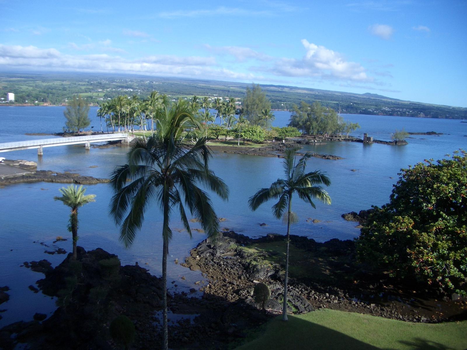
Hilo Bay…on the Big Island
The trade winds are rather robust today, more so than yesterday, and are expected to remain gusty through Friday into the weekend. There had been some question about whether the trade winds would slow down this weekend, although now it looks as if they will hold off until around Sunday or Monday to do that. As this weather map shows, we find three high pressure systems, all with a 1028 mb. rating at the time of this writing…stretched out from the north to northeast. The associated isobars, showing wind direction, have the air flow coming in from more or less the east. Thursday later in the day found that everywhere except sheltered Lanai, had winds ranging between 30-40 mph. This is strong enough to keep the small craft wind advisory flags up over the waters from Molokai down through Maui and the
In terms of rainfall, there hasn’t been much, nor is there all that much expected as we move through the rest of this week. We could sure use some water, especially in our leeward sections, and in particular on Maui and the
It’s Thursday evening as I begin writing this last section of this today’s narrative. In order to see just how rowdy the trade winds are at the moment, at around 5pm Thursday evening, here’s the strongest gusts on each of the islands:
Kauai – 33 mph
Oahu – 35
Molokai – 38
Kahoolawe – 42
Lanai – 21 (generally blocked from the stronger trade winds)
Maui – 38
Big Island – 38
These aren’t the strongest gusts we’ve ever seen, although they are certainly rather robust. I expect similar conditions Friday, and probably into the first part of the weekend as well. As noted above, there will be a few showers, although nothing too out of the ordinary. Most of that moisture will be carried into the windward coasts and slopes by the trade winds. There aren’t expected to be many changes to this precipitation pattern through the first several days of next week. The leeward sides will generally dry, and quite sunny during the days too, without any obvious high cloud streams approaching at this time. The nearest areas of those sun dimming high clouds are to the northwest of the state, and to the east of the state…which may get into our area with time. ~~~ I’m heading upcountry now, and looking out the window here in Kihei before I leave, it looks very normal out there. This means lots of blue skies, with some clouds around too. I’ll be back early Friday morning with your next new weather narrative, I hope you have a great Thursday night until then! Aloha for now…Glenn.
Interesting: Iceland’s Eyjafjoell volcano is spewing more and more ash, prompting authorities to consider re-routing transatlantic flights and to warn more disruptions are possible. "Ash production did increase last night and the ash plume is going higher now than the last couple of days," Agust Gunnar Gylfason, who monitors the eruption’s progress at Iceland’s Civil Protection Department, said today.
European airspace and airports across the continent were open overnight, but intergovernmental air traffic control agency Eurocontrol said the ash cloud could mean transatlantic flights might need to be re-routed. "Significant re-routing of westbound transatlantic flights to avoid the higher contaminated area is currently being discussed between the air navigation service providers concerned and Eurocontrol," the Brussels-based body said.
The area where concentrations of ash could still pose a risk to aircraft engines was lying to the north and west of Ireland, it said. Airspace above Ireland, Northern Ireland and Scotland was partly shut on Wednesday and yesterday, causing the cancellation of hundreds of flights, after winds had blown ash clouds down from Iceland. The fresh disruption came after Europe’s skies were closed for up to a week last month by the eruption of the Eyjafjoell volcano.
It was the biggest aerial shutdown in Europe since World War II, with more than 100,000 flights cancelled and eight million passengers affected. The Irish Aviation Authority said that favorable winds had allowed the resumption of flights overnight but warned more disruptions were possible. "If the winds change the larger concentrated ash cloud could be blown over Ireland, the United Kingdom and Europe.
This will result in traffic restrictions," it said. Mr Gylfason said the ash plume "had reached 30,000 feet for some time last night, and again this morning, due to an increase in explosive activity, but otherwise it’s been around 18,000 and 20,000 feet". At the strongest period of the eruption, Eyjafjoell sent a plume around 9000m into the air, but scientists have stressed that the height of the plume does not necessarily reflect a particular quantity of ash.
On Wednesday, the plume contained about only 10 per cent of the ash it held at the beginning of the eruption. British Airways said overnight that its passenger numbers fell by almost one quarter last month as a result of the flight bans prompted by the volcanic ash cloud. Its total number of passengers slumped 24.5 per cent to 2.081 million people in April, compared with the same month of 2009, it said. Norway’s budget airline Norwegian said it suffered 12.8 million euros in losses owing to volcanic ash grounding its flights.
Interesting2: Radio frequency identification, RFID, could be used in the immediate aftermath of a major earthquake to save lives, according to new research published in the International Journal of Innovation and Sustainable Development. Yen-Chun Jim Wu of the National Sun Yat-Sen University and Ching-Yuan Hung, of the National Kaohsiung First University of Science & Technology, in Taiwan, that there is a ‘golden’ rescue period following an earthquake, which lasts just 72 hours.
During this time the efficiency of emergency response procedures is key to the rescue operation, especially given the possibility of aftershocks and continued risk caused by collapsing buildings, fires and gas explosions. Particularly challenging is knowing how many people are present in a building, a hospital or school, for instance.
"Continuously updated information on casualties and losses must be made available to disaster response managers in real time so that they can arrange and deploy relief supplies in an appropriate and timely manner," the researchers say. RFID could be applied to help provide such real-time information, allowing for quicker and more efficient dispatching of rescue personnel and more precisely organized search and rescue missions following an earthquake. They have used the Sichuan earthquake (magnitude 8.0) of May 2008.
100 magnitude 4.0 aftershocks hit the area following the disaster as a model for studying how RFID might be used in such a situation. However, the concepts would be equally applicable to other disasters. They have devised a deployment of RFID that could potentially mitigate a wide array of post-disaster logistical challenges, such as allowing rescuers and the emergency services to manage and monitor transferred evacuees and to control the flow of medical and other supplies.
Interesting3: How much do we, who are alive today, differ from our most recent evolutionary ancestors, the cave-dwelling Neandertals, hominids who lived in Europe and parts of Asia and went extinct about 30,000 years ago? And how much do Neandertals, in turn, have in common with the ape-ancestors from which we are both descended, the chimpanzees? Although we are both hominids, the fossil record told us long ago that we differ physically from Neandertals, in various ways.
But at the level of genes and the proteins that they encode, new research published online May 6 in the journal Science reveals that we differ hardly at all. It also indicates that we both — Neandertals and modern humans — differ from the chimps in virtually identical ways. "The astonishing implication of the work we’ve just published," says Prof. Gregory Hannon, Ph.D., of Cold Spring Harbor Laboratory (CSHL), "is that we are incredibly similar to Neandertals at the level of the proteome, which is the full set of proteins that our genes encode."
Hannon, who is also an Investigator of the Howard Hughes Medical Institute and is well known for his work on small RNAs and RNA interference, was invited this past year to help examine Neandertal DNA by Dr. Svante Pääbo, a pioneer in paleogenetics, a field that employs genome science to study early humans and other Paleolithic-era creatures.
In a separate paper, Pääbo’s team today publishes in the same issue of Science the first complete genome sequence for Neandertal, an achievement that builds on work he has led since 2006 at the Max Planck Institute for Evolutionary Genomics in Leipzig. "Dr. Pääbo’s publication of the full Neandertal genome is a watershed event, a major historical achievement," Hannon says.
"The work we conducted in collaboration with his team is only a small part of the larger effort, but it helps us put the Neandertal genome into better perspective, relative to the modern human genome and those of our nearest common ancestor among the apes, the chimpanzees, from whom we diverged about 6.5 million years ago."
The CSHL team contributed a technology developed by Hannon, postdoc Emily Hodges, Ph.D., and others at CSHL in 2007. "We call it "Array capture re-sequencing," says Hannon, "and it enables us to extract from genomes important information, on a very selective basis, rapidly, very accurately, and at low cost.
We always anticipated that it might help in the analysis of evolutionary relationships, so when Svante offered us the opportunity to apply it to a Neandertal sample, we were very excited and grateful for the opportunity." The technique enabled Hannon’s CSHL team, working with Pääbo’s team in Leipzig, to greatly amplify intact bits of DNA from a Neandertal sample that was 99.8% contaminated — mainly by bacterial DNA– and regarded by Pääbo as not likely to yield useful data.
The sample studied was considerably more impure than that used as the basis for Pääbo’s full Neandertal genome sequence. "Our technology is particularly useful in enabling us to work with the most contaminated samples," says Hannon. "We identify and then greatly amplify just those portions of the target DNA called exons. Exons are stretches of DNA that encode proteins. They comprise only a small fraction of the total genome of modern humans, about 1%."
The Neandertal genome, like that of modern humans, contains about 3 billion base-pairs of nucleotides — often referred to metaphorically as "letters" in the genome’s "book of life." The Hannon-Pääbo collaboration focused on obtaining the most accurate possible sequence of only 14,000 protein-coding segments within the full genome.
"These," Hannon explains, "are exons that give rise to the 14,000 proteins that we know are different in modern humans and chimpanzees." The question was what those 14,000 proteins would look like in our Neandertal relatives. "The overwhelming majority of chimp proteins — about 75% — are different from ours in at least one amino-acid ‘letter," according to Hannon.
These amino-acid changes are in most instances slight, but the resulting functional differences — the way they affect what proteins do in cells — can be great, and presumably help to explain many of our differences from chimpanzees.
Tom Says:
Aloha Glenn;
I really enjoy your site, especially the Interesting Facts section. However, I’ve notice lately that many of the satellite links no longer work, both from the home page and from your daily narrative page as well and I really miss them!
Mahalo, Tom~~~Hi Tom, I just went through all of the satellite imagery everywhere on my site, and they all worked…but one. I will fix that one right now, so that they are all in order as of Thursday evening. I’m glad you brought my attention to that, although not sure what to say about your comment…that many of the links don’t work now. Aloha, Glenn
Cynthia Quisenberry Says:
Are we predicted to have La Nina conditions this coming winter and what effect does that have on our weather?
Thanks for your info and for keeping your website going. We always check it.~~~Hi Cynthia, good question. Typically, La Nina translates into somewhat wetter conditions than normal in terms of rainfall. This is a good thing, as we may be very dry as we move through sunmer into the fall months. Thanks for using my website too! Aloha, Glenn