


Maui Weather Forecast
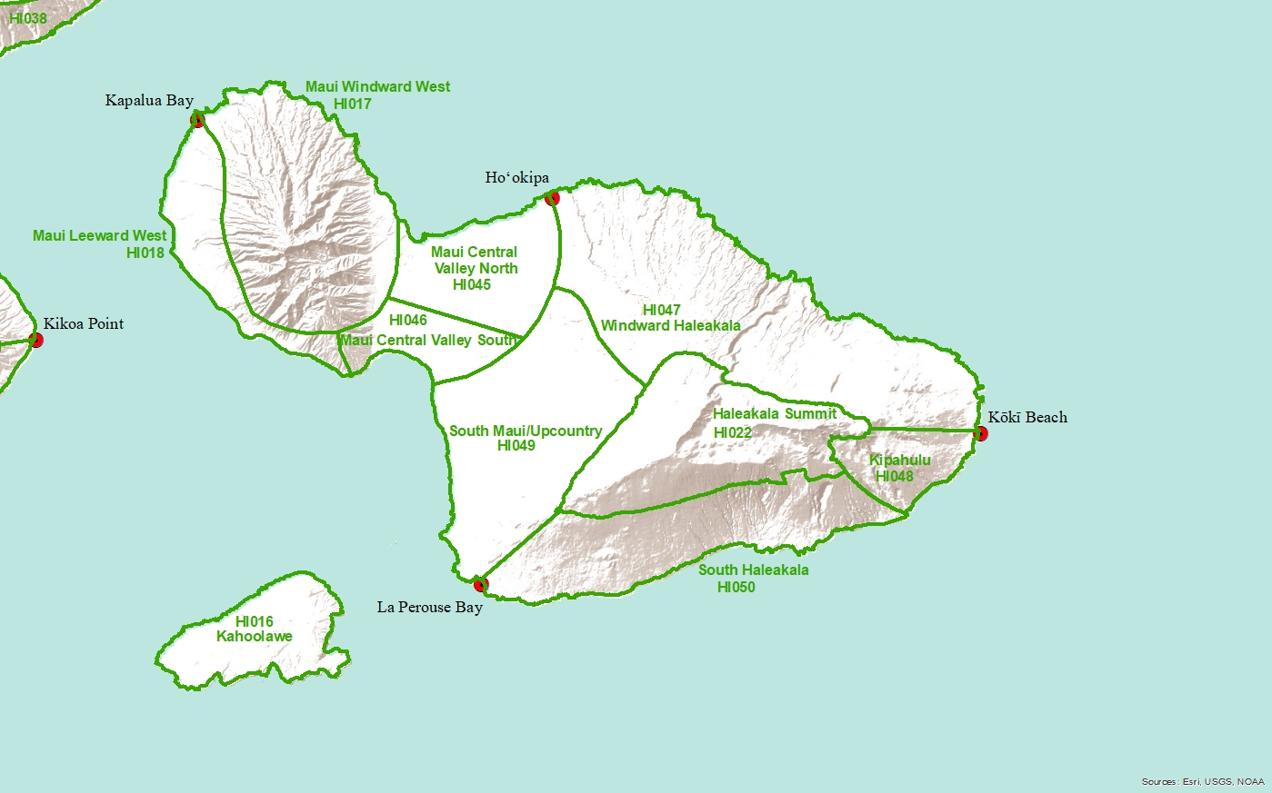
Central Valley South-
Headlines
WIND ADVISORY NOW IN EFFECT UNTIL 6 PM HST TUESDAY
TONIGHT
Partly cloudy. Breezy. Lows 68 to 76. Northeast winds 10 to 25 mph with gusts to 45 mph.
TUESDAY
Mostly sunny. Breezy. Highs around 88. Northeast winds 10 to 25 mph with gusts to 45 mph.
TUESDAY NIGHT
Partly cloudy. Breezy. Lows 67 to 75. Northeast winds 10 to 20 mph. Gusts up to 40 mph in the evening.
WEDNESDAY
Mostly sunny. Highs around 89. Northeast winds 10 to 15 mph.
WEDNESDAY NIGHT
Partly cloudy. Lows 68 to 75. Northeast winds 10 to 15 mph.
THURSDAY
Mostly sunny. Highs around 89. Northeast winds 10 to 15 mph.
THURSDAY NIGHT
Mostly clear. Lows 68 to 76. Northeast winds 10 to 15 mph.
FRIDAY
Sunny. Highs around 89. Northeast winds 10 to 15 mph.
FRIDAY NIGHT
Mostly clear. Lows 68 to 75. Northeast winds 10 to 15 mph.
SATURDAY
Mostly sunny. Highs around 89. Northeast winds 10 to 15 mph.
SATURDAY NIGHT
Partly cloudy. Lows 68 to 76. Northeast winds 10 to 15 mph.
SUNDAY
Mostly sunny. Highs around 89. East winds 10 to 15 mph.
SUNDAY NIGHT
Partly cloudy. Lows 68 to 76. Northeast winds 10 to 15 mph.
MONDAY
Mostly sunny. Highs around 89. East winds 10 to 15 mph.