


Big Island Weather Forecast
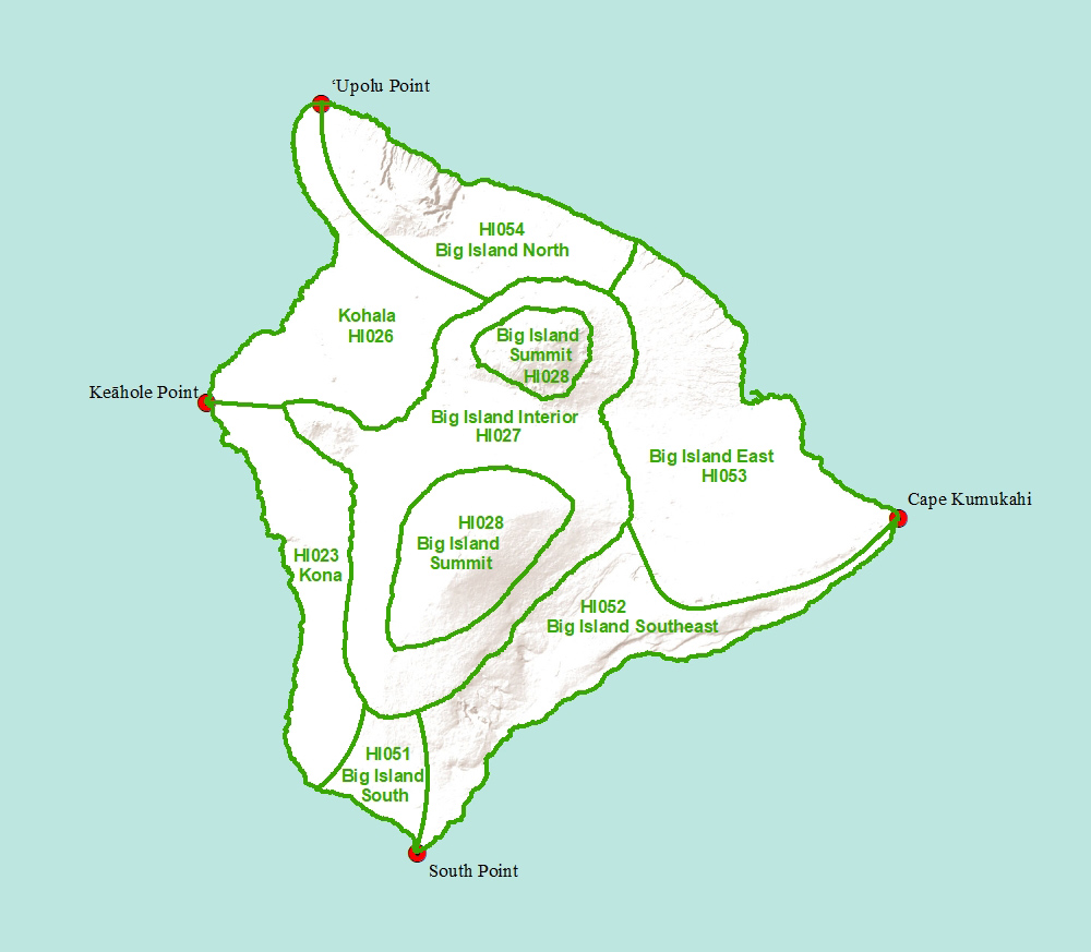
Click on a region of the map above to see weather forecasts for that area
Big Island Summit-
TODAY
Sunny in the morning then becoming partly sunny. Highs around 59 at the visitor information station to around 49 near the summits. East winds up to 10 mph.
TONIGHT
Mostly cloudy in the evening then becoming partly cloudy. Lows around 46 at the visitor information station to around 44 near the summits. East winds up to 10 mph in the evening becoming light.
MONDAY
Mostly sunny in the morning, then mostly cloudy with isolated showers in the afternoon. Highs around 53 at the visitor information station to around 48 near the summits. Light winds. Chance of rain 20 percent.
MONDAY NIGHT
Mostly cloudy. Lows 40 to 51. Light winds.
TUESDAY
Mostly cloudy. Highs 49 to 66. Southwest winds up to 10 mph.
TUESDAY NIGHT
Mostly cloudy. Lows 41 to 51. Southwest winds up to 10 mph.
WEDNESDAY
Mostly sunny in the morning then becoming mostly cloudy. Highs 48 to 69. Southwest winds up to 10 mph.
WEDNESDAY NIGHT
Mostly cloudy in the evening then becoming partly cloudy. Lows 40 to 50. South winds up to 10 mph.
THURSDAY
Mostly sunny in the morning, then mostly cloudy with isolated showers in the afternoon. Highs 48 to 70. South winds up to 10 mph in the morning becoming light. Chance of rain 20 percent.
THURSDAY NIGHT
Mostly cloudy. Lows 40 to 50. Light winds.
JUNETEENTH
Mostly sunny in the morning then becoming partly sunny. Isolated showers. Highs 47 to 70. Light winds. Chance of rain 20 percent.
FRIDAY NIGHT
Mostly cloudy in the evening then clearing. Lows 41 to 50. Light winds.
SATURDAY
Sunny. Isolated showers in the afternoon. Highs 47 to 70. Light winds. Chance of rain 20 percent.