


Air Temperatures – The following maximum temperatures were recorded across the state of Hawaii Thursday:
Lihue, Kauai – 80
Honolulu airport, Oahu – 79
Kaneohe, Oahu – 81
Molokai airport – 80
Kahului airport, Maui – 83 (Record high temperature on this date – 88F / 1996, 2006)
Kona airport – 82
Hilo airport, Hawaii – 81
Air Temperatures ranged between these warmest and coolest spots near sea level – and on the highest mountain tops…as of 5pm Thursday evening:
Kahului, Maui – 80
Princeville, Oahu – 75
Haleakala Crater – 50 (near 10,000 feet on Maui)
Mauna Kea – 36 (near 13,800 feet on the Big Island)
Hawaii’s Mountains – Here’s a link to the live web cam on the summit of near 13,800 foot Mauna Kea on the Big Island of Hawaii. This web cam is available during the daylight hours here in the islands…and when there’s a big moon shining down during the night at times. Plus, during the nights you will be able to see stars, and the sunrise and sunset too…depending upon weather conditions. Here's the Haleakala Crater webcam on Maui…which is working only sometimes lately.
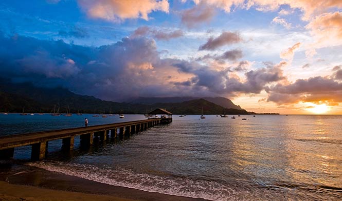
Aloha Paragraphs
Returning trade winds – just a few showers –
generally nice weather Friday / Saturday
As this weather map shows low pressure systems far to the north and northwest, along with their associated cold fronts draping southwest from their centers. At the same time we have a new 1024 millibar high pressure system sitting out to our east-northeast, with its associated ridge extending west-southwest to near Kauai at the time of this writing. The location of these low pressure systems, and this northward migrating ridge of high pressure will result in strengthening trade winds into Saturday.
The following numbers represent the strongest wind gusts (mph), along with directions Thursday evening:
08 Port Allen, Kauai – SE
12 Kahuku, Oahu – ENE
08 Molokai – NNE
18 Kahoolawe – NE
23 Kapalua, Maui – NE
08 Lanai – NE
22 South Point, Big Island – NE
We can use the following links to see what’s going on in our area of the north central Pacific Ocean Thursday evening. Looking at this NOAA satellite picture we see generally clear skies across all of the Hawaiian Islands at the time of this writing. We can use this looping satellite image to see a stream of clouds moving from southwest towards the northeast…to the north of the Hawaiian Islands. Checking out this looping radar image we see a few light showers over the ocean for the most part, although a few are being carried onto the islands by the returning trade winds at the time of this writing.
Here are the 24-hour precipitation totals (inches) for each of the islands as of Thursday evening:
0.02 Waialae, Kauai
0.04 Ahuimanu Loop, Oahu
0.00 Molokai
0.00 Lanai
0.00 Kahoolawe
0.00 Maui
0.04 Kealakekua, Big Island
Sunset Commentary: The overlying atmosphere is very stable and dry, thus we should see generally fair weather over the next several days. A high pressure ridge has moved from the Big Island up to Kauai during the day Thursday. The trade winds will strengthen Friday into the first part of the weekend. The computer forecast models continue to suggest that the trade winds will be short-lived however, as southeast to south winds begin on Sunday…as the next cold front approaches early next week. The winds may pick up from the south to southwest directions later in the new week, with a possible front digging into the state around Thursday or Friday.
Here in Kula, Maui at around 615pm HST, it was cloudy and foggy, with an air temperature of 65.8F degrees. As I was writing above, today remained rather nice, albeit still a bit voggy around the edges on some of the islands…including here on Maui. As the ridge of high pressure migrates to the north of the state into Friday, we'll see the recent light winds giving way to returning light to moderately strong trade winds into Saturday. This will bring a few light showers to the windward sides, although not much more than that. Sunday will return the southeast winds, which will be lighter, and may begin carrying a bit of volcanic haze up over the islands again…from the vent on the southeast side of the Big Island. A cold front will be approaching the state during the first half of next week, and some of the computer models are starting to show it moving into the central islands after mid-week. This in turn would increase the chance of showery weather, some of which may become very generous later next week. Tonight will be fair, with likely a pretty clear morning starting things off on Friday. ~~~ I'll be back early Friday morning with your next sunrise commentary, I hope you have a great Thursday night until then! Aloha for now…Glenn.
Ellen Nystrom Says:
Glen,
Will be visiting Maui Jan 24-Feb 2nd. How will the weather be? It will not be a total rainout will it?~~~Hello Ellen, it is winter after all, so that there may be some showers, although I wouldn’t worry about it too much, as there will also be lots of warm sunshine! Have a great time…Aloha, Glenn