


December 20-21, 2010
Air Temperatures – The following maximum temperatures were recorded across the state of Hawaii Monday afternoon:
Lihue airport, Kauai – 73
Honolulu airport, Oahu – 77
Kaneohe, Oahu – 74
Molokai airport – 78
Kahului airport, Maui – 79
Kona airport – missing
Hilo airport, Hawaii – 81
Air Temperatures ranged between these warmest and coolest spots near sea level – and on the highest mountain tops…as of 5pm Monday evening:
Kailua-kona – 78F
Kaneohe, Maui – 72
Haleakala Crater – 45 (near 10,000 feet on Maui)
Mauna Kea summit – 34 (near 14,000 feet on the Big Island)
Precipitation Totals – The following numbers represent the largest precipitation totals (inches) during the last 24 hours on each of the major islands, as of late Monday afternoon:
3.15 Kapahi, Kauai
2.79 Maunawili, Oahu
0.20 Molokai
0.54 Lanai
0.96 Kahoolawe
0.87 Waikapu Country Club, Maui
1.38 Kaupulehu, Big Island
Marine Winds – Here’s the latest (automatically updated) weather map showing weak 1017 millibar high pressure system located far to the east of the state, with a stronger 1030 millibar high pressure cell far to our north-northwest. Our winds will be light or a bit stronger from the east to southeast Tuesday into Wednesday.
Satellite and Radar Images: To view the cloud conditions we have here in Hawaii, please use the following satellite links, starting off with this Infrared Satellite Image of the islands to see all the clouds around during the day and night. This next image is one that gives close images of the islands only during the daytime hours, and is referred to as a Close-up visible image. This next image shows a larger view of the Pacific…giving perspective to the wider ranging cloud patterns in the Pacific Ocean. Finally, here's a Looping IR satellite image, making viewable the clouds around the islands 24 hours a day. To help you keep track of where any showers may be around the islands, here’s the latest animated radar image.
Hawaii’s Mountains – Here’s a link to the live web cam on the summit of near 14,000 foot Mauna Kea on the Big Island of Hawaii. The tallest peak on the island of Maui is the Haleakala Crater, which is near 10,000 feet in elevation. These two web cams are available during the daylight hours here in the islands…and when there’s a big moon rising just after sunset for an hour or two! Plus, during the nights and early mornings you will be able to see stars, and the sunrise too…depending upon weather conditions.
Tropical Cyclone activity in the eastern and central Pacific – Here’s the latest weather information coming out of the National Hurricane Center, covering the eastern north Pacific. You can find the latest tropical cyclone information for the central north Pacific (where Hawaii is located) by clicking on this link to the Central Pacific Hurricane Center. Here’s a tracking map covering both the eastern and central Pacific Ocean. A satellite image, which shows the entire ocean area between Hawaii and the Mexican coast…can be found here. Of course, as we know, our hurricane season won't end until November 31st here in the central Pacific.
Aloha Paragraphs
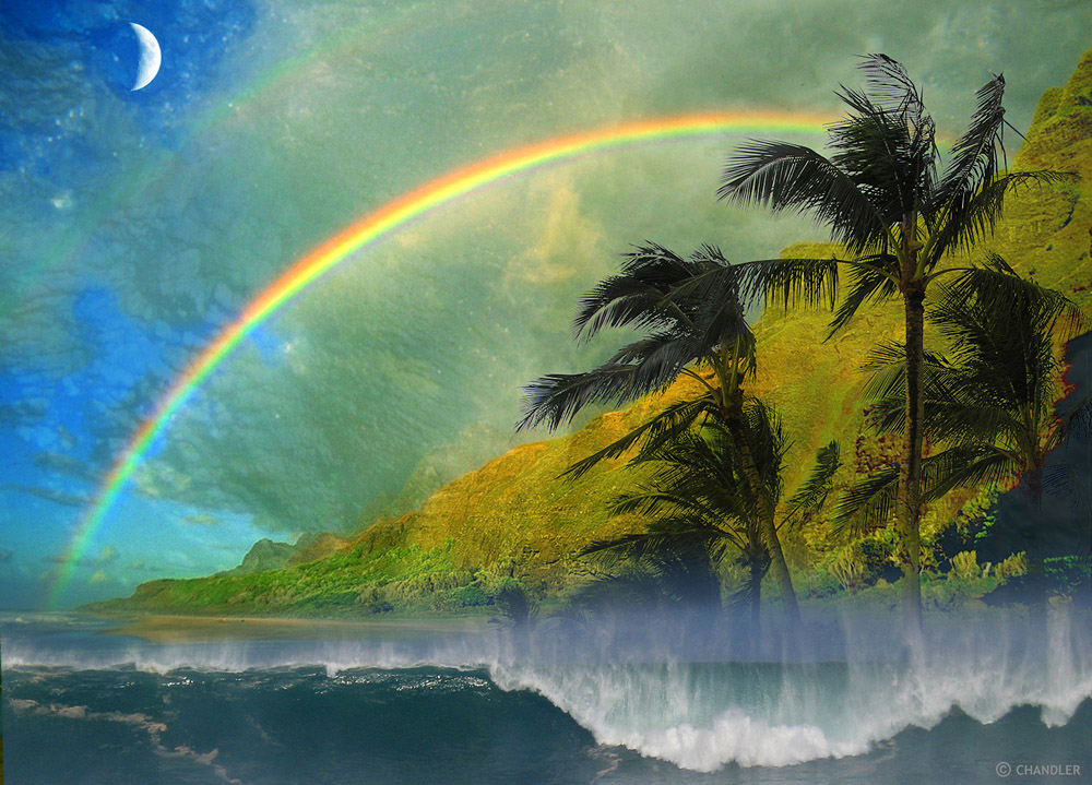
Showery weather at times, lunar eclipse…north swell
Winds will be generally light, with a few exceptions, from the east to southeast through Tuesday…becoming southeast again Wednesday. This weather map shows a weak 1015 millibar high pressure system located far to the east of the islands Monday. At the same time we find a stronger 1029 millibar high pressure cell far to the north-northwest. Then, we also see a cold front to our northeast, which will drop down very close to the islands tonight into Tuesay. Finally, we see a rare December tropical storm (Omeka) far to our west…near the International Dateline. The placement of these high and low pressure features will keep our winds generally blowing from the east to southeast direction into Tuesday. The cold front will soon shift our local winds around to the southeast again by Wednesday onwards.
Winds will be generally light from the east to southeast, with a few exceptions…the following numbers represent the strongest breezes early Monday evening:
21 mph Port Allen, Kauai
15 Kahuku, Oahu
00 Molokai
07 Kahoolawe
09 Kapalua, Maui
08 Lanai Airport
20 South Point, Big Island
A deep layer of tropical moisture remains over the entire state Monday night…keeping showers in the forecast. This large view satellite image continues to show an extensive area of rich tropical moisture pushing over the Hawaiian Islands from the southwest…with what looks like the back edge nearing Kauai. Looking at this next satellite picture, which provides a closer look at our islands, we can see a few thin spots in this general overcast…although not many. Checking out this looping radar image we see moderately heavy showers will in the vicinity. The threat of showers or rain will prevail, as a cold front drops down towards us…from the north by Tuesday morning. We'll find off and on showery weather locally through the next several days, mostly along the windward sides. As we move into the second half of this new work week, conditions will likely improve…before more showers arrive during the Christmas holiday weekend coming up.
Here in Kihei, Maui at around 530pm, skies are mostly cloudy…and it looks like rain could start at any moment. Looking up towards the Haleakala Crater, the clouds are hanging very low on the slopes. We continue find a rare December tropical storm called Omeka far to our west, just on our side of the International Dateline. TS Omeka has 40 mph winds revolving around its center, with thunderstorms in the area as well. The last time we had a tropical cyclone in the central Pacific during December, was back in 1997. This tropical storm's circulation is broad enough, to keep deep moisture coming our way from the southwest in all levels of the atmosphere. It should be pointed out that as this tropical system moves north it will quickly weaken, and poses no threat to our Hawaiian Islands. ~~~ Looking further ahead, it looks like Thursday and Friday will be the best days this week, as our cloudy skies finally give way to more sunshine. As we move into the Christmas weekend, we may see more rainy weather, as a cold front approaches the state from the northwest then. I'm about to head out on the road for my drive back upcountry to Kula, where I expect pea soup fog to greet me. I hope you have a great Monday night until I return with your next new weather narrative early Tuesday morning. Aloha for now…Glenn.
Extra: There have been over 56,000 page impressions of this website during the last 48 hours…with 350 clicks on the google ads. So far this month, in total, there have been 288,230 page impressions…with 2,141 google ad clicks. Thank you all for your readership, and clicks too!
Interesting: 'Twill be nights before Christmas and high overhead, the moon will turn orange or maybe bright red. The Earth and the sun with celestial scripts will conspire to make a lunar eclipse. Weather permitting, sky gazers in North and Central America and a tiny sliver of South America will boast the best seats to this year's only total eclipse of the moon.
The eclipse will happen tonight on the West Coast and during the wee hours Tuesday on the East Coast. Western Europe will only see the start of the spectacle while western Asia will catch the tail end.
The moon is normally illuminated by the sun. During a total lunar eclipse, the full moon passes through the shadow created by the Earth blocking the sun's light. Some indirect sunlight will still manage to pierce through and give the moon a ghostly color.
Since the eclipse coincides with winter solstice, the moon will appear high in the sky — a boon for skywatchers. While there have been recent volcanic eruptions, scientists today said there's not enough dust in the atmosphere to dim the eclipse.
NASA eclipse expert Fred Espenak of the Goddard Space Flight Center in Maryland predicts the moon will appear bright red or orange. "It will be interesting to watch," he said. North and Central America should be able to view the entire show, which is expected to last 3½ hours if skies are clear.
The Griffith Observatory perched on the south slope of Mount Hollywood in Los Angeles will host an eclipse party this evening although rain is forecast. Telescopes will be set out on the lawn for the public and astronomers will give free lectures on the eclipse's various stages.
If clouds or rain set in, the observatory plans to stream live video of the eclipse from the Internet. Among the various outfits that will show the eclipse live is NASA, which has a camera mounted at its Marshall Space Flight Center in Huntsville, Ala. "Our event will go on rain or shine," said Griffith Observatory astronomer Anthony Cook.
Unlike solar eclipses which require protective glasses, lunar eclipses are safe to watch with the naked eye. U.S. Naval Observatory spokesman Geoff Chester finds solar eclipses more exciting than the lunar counterpart.
But solar eclipses tend to occur in remote parts of the world while lunar eclipses are usually visible from an entire hemisphere. "If you get skunked by bad weather, all you have to do is wait a few years for the next one to come around," Chester said.
There are two total lunar eclipses in 2011 — in June and December. North America will miss the June show and witness only a part of next December eclipse.
Hawaii specific: Total lunar eclipse (visible in Hawai‘i)
Note: this eclipse happens on December 20 in Hawai‘i, NOT on December 21. It occurs on December 21 Universal Time, which is the time you will often see given for this spectacular event; but if you try to see this eclipse in Hawai‘i on December 21 you’ll be a day late!
There is a total lunar eclipse on December 20-21. This is the first total lunar eclipse in three years. The eclipse will be visible throughout the Hawaiian Islands and throughout nearly all of North America. It will also be visible throughout the eastern half of Polynesia (Tahiti, Easter Island, and Marquesas).
From the Hawaiian Islands, the lunar eclipse technically starts at 7:29 PM on the evening of December 20 as the moon starts to enter the faint outer shadow of the earth. However, you will not notice any darkening of the moon until at least 8:32 PM Hawai‘i Standard Time, when the moon begins to enter the deep inner shadow (umbra) of the earth.
By 9:42 PM HST on December 20 the moon will be entirely in the earth’s inner shadow, as the total phase of this lunar eclipse begins. By this time, the moon should be dramatically darker and redder and usual. This total phase, with the moon completely within the earth’s umbra, will last till 10:52 PM HST.
As of 10:52 PM the moon will start to leave the umbra, and you will see the moon start to lighten. By midnight the moon will be entirely out of that dark inner shadow and will look like a regular full moon. Technically this eclipse ends at 1:03 AM on December 21 as the moon leaves the penumbra completely.
Lunar eclipses occur when the earth comes in between the moon and sun. The earth’s atmosphere blocks most of the light coming from the sun and stops that light from hitting the moon. However, the longer wavelengths of red light from the sun do make it through the earth’s atmosphere and continue on to strike to moon. Thus, during lunar eclipses the moon turns an eerie shade of red.
This eclipse will total over nearly all of North America. For locations in the Pacific Time Zone (Seattle, San Francisco, LA etc) the total phase of this lunar eclipse will run from 11:42 PM on December 20 to 12:52 AM on Dec 21. The total phase of this lunar eclipse will run from 12:42 to 1:52 AM on December 21 in Mountain Time (Denver etc); 1:42 to 2:52 AM Central Time (Chicago) on December 21; and 2:42 to 3:52 AM Eastern Standard Time (New York, Miami) on December 21.