


Air Temperatures – The following maximum temperatures (F) were recorded across the state of Hawaii Saturday…along with the minimums Saturday:
79 – 70 Lihue, Kauai
85 – 71 Honolulu, Oahu
82 – 69 Molokai AP
82 – 74 Kahului AP, Maui
79 – 74 Kailua Kona
84 – 68 Hilo AP, Hawaii
Here are the latest 24-hour precipitation totals (inches) for each of the islands…as of Saturday:
0.40 Mount Waialeale, Kauai
0.45 Moanalua RG, Oahu
0.18 Molokai
0.00 Lanai
0.00 Kahoolawe
0.76 Puu Kukui, Maui
1.48 Saddle Quarry, Big Island
The following numbers represent the strongest wind gusts (mph)…as of Saturday:
14 Port Allen, Kauai
27 Kuaokala, Oahu
22 Molokai
22 Lanai
27 Kahoolawe
25 Kahului AP, Maui
30 South Point, Big Island
Hawaii’s Mountains – Here’s a link to the live web cam on the summit of near 13,800 foot Mauna Kea on the Big Island of Hawaii. This web cam is available during the daylight hours here in the islands…and when there’s a big moon shining down during the night at times. Plus, during the nights you will be able to see stars, and the sunrise and sunset too…depending upon weather conditions.
Aloha Paragraphs

Low pressure system over the ocean far to the northeast…
with its associated cold front to the north

Fading cold front just south of the Big Island…
with thunderstorms and high cirrus southwest

Clear to partly cloudy…some cloudy areas

Showers falling locally – looping radar image
Small Craft Advisory…Kauai waters to Oahu
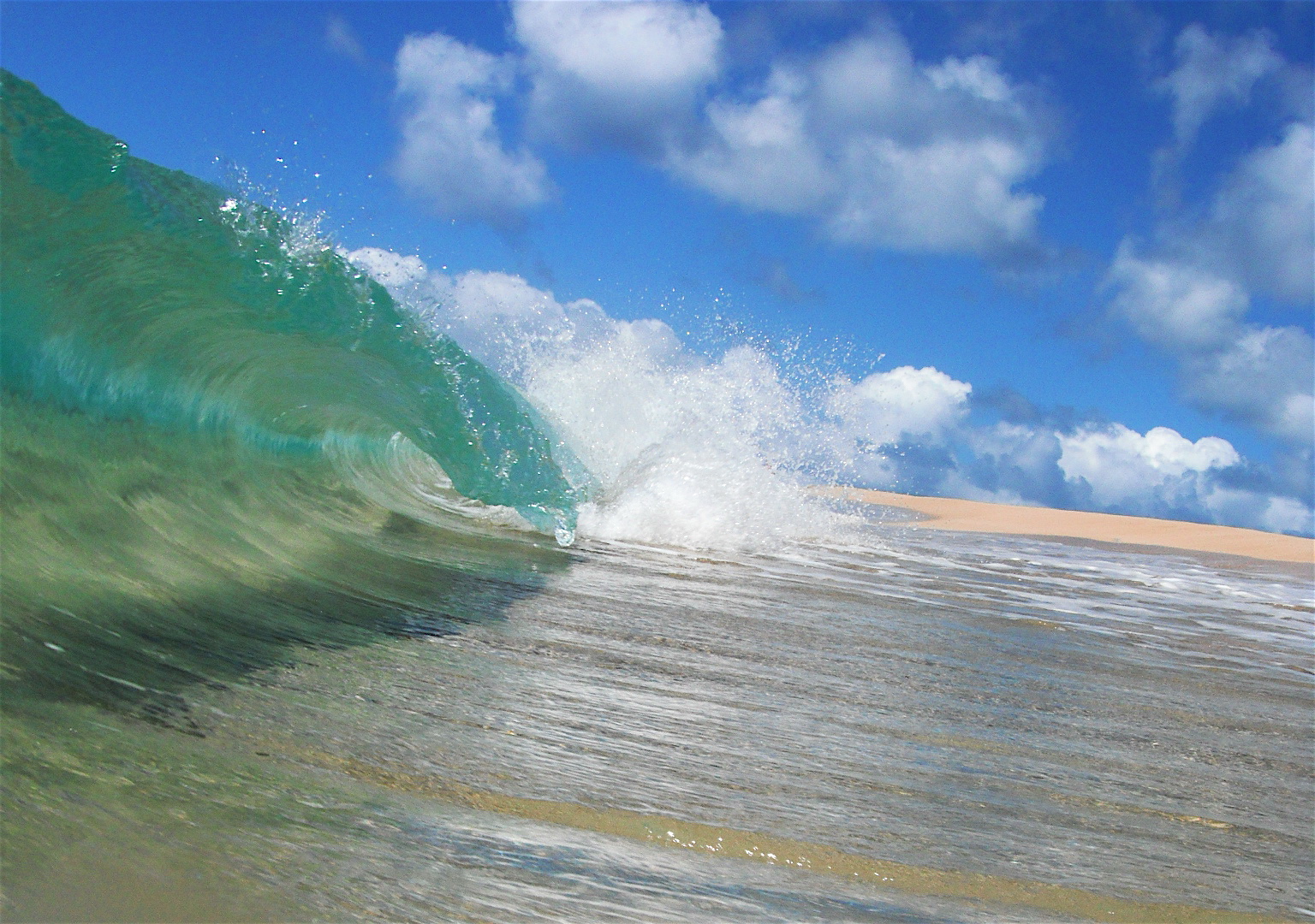
High Surf Advisory…north and west shores of
Kauai, Oahu, Molokai, and north shore of Maui
~~~ Hawaii Weather Narrative ~~~
Trade winds turning somewhat lighter Sunday. Here’s the latest weather map, showing the Hawaiian Islands, and the rest of the North Pacific Ocean. We find high pressure systems well offshore to the northeast and west-northwest of Hawaii…with an associated ridge north of the islands. At the same time, we see low pressure systems far north and northwest of the islands. The trade winds will gradually ease up some through Sunday, then pick up again early in the new week…likely lasting through next weekend.
Here’s a wind profile…of the offshore waters around the islands – with a closer view
Here’s the Hawaiian Islands Sulfate Aerosol…animated graphic – showing vog forecast
Fewer showers now…almost exclusively along our windward sides. The trade winds will keep some shower activity focused along the windward sides, with very few stretching over into the leeward sides…on the smaller islands locally. It looks like the trade winds will pick up a notch again early in the new week ahead, with more passing windward showers arriving then. This long lasting trade wind weather pattern will continue well into the future.
Marine environment details: A new northwest swell expected to fill in later tonight and Sunday. Surf heights will exceed advisory levels during the peak of the swell. This swell will lower gradually on Monday. Another advisory level northwest swell is expected to arrive Monday night, peak on Tuesday, then gradually lower Wednesday through Thursday. Strong trade winds are expected during the new week and may cause surf to reach advisory levels at times along east facing shores. There will also be a series of small south swells throughout the forecast period.
A small craft advisory remains posted for the typically windy waters around the Big Island. Winds will likely drop off a bit on Sunday before ramping back up on Monday through Wednesday. This combined with the above mentioned northwest swells will likely cause small craft advisory conditions across most areas for much of next week.
Slightly lighter trade winds, small to medium surf…
rising north and west shores Sunday
World-wide tropical cyclone activity:
>>> Atlantic Ocean: The last regularly scheduled Tropical Weather Outlook of the 2015 Atlantic hurricane season…has occurred. Routine issuance of the Tropical Weather Outlook will resume on June 1, 2016. During the off-season, Special Tropical Weather Outlooks will be issued if conditions warrant. Here’s the 2015 hurricane season summary
Here’s a satellite image of the Atlantic Ocean
>>> Caribbean Sea: The last regularly scheduled Tropical Weather Outlook of the 2015 Atlantic hurricane season…has occurred. Routine issuance of the Tropical Weather Outlook will resume on June 1, 2016. During the off-season, Special Tropical Weather Outlooks will be issued if conditions warrant.
>>> Gulf of Mexico: The last regularly scheduled Tropical Weather Outlook of the 2015 Atlantic hurricane season…has occurred. Routine issuance of the Tropical Weather Outlook will resume on June 1, 2016. During the off-season, Special Tropical Weather Outlooks will be issued if conditions warrant.
Here’s a satellite image of the Caribbean Sea…and the Gulf of Mexico
Here’s the link to the National Hurricane Center (NHC)
>>> Eastern Pacific: The last regularly scheduled Tropical Weather Outlook of the 2015 North Pacific hurricane season…has occurred. Routine issuance of the Tropical Weather Outlook will resume on May 15, 2016. During the off-season, Special Tropical Weather Outlooks will be issued if conditions warrant. Here’s the 2015 hurricane season summary
Here’s a wide satellite image that covers the entire area between Mexico, out through the central Pacific…to the International Dateline.
Here’s the link to the National Hurricane Center (NHC)
>>> Central Pacific: The central north Pacific hurricane season has officially ended. Routine issuance of the tropical weather outlook will resume on June 1, 2016. During the off-season, special tropical weather outlooks will be issued if conditions warrant. Here’s the 2015 hurricane season summary
Here’s a link to the Central Pacific Hurricane Center (CPHC)
>>> South Pacific Ocean: No active tropical cyclones
>>> North and South Indian Oceans / Arabian Sea: No active tropical cyclones
Here’s a link to the Joint Typhoon Warning Center (JTWC)
Interesting: The North Pole had ice-free summers millions of years ago – An international team of scientists led by the Alfred Wegener Institute Helmholtz Center for Polar and Marine Research (AWI) have managed to open a new window into the climate history of the Arctic Ocean. Using unique sediment samples from the Lomonosov Ridge, the researchers found that six to ten million years ago the central Arctic was completely ice-free during summer and sea-surface temperature reached values of 4 to 9 degrees Celsius. In spring, autumn and winter, however, the ocean was covered by sea ice of variable extent, the scientists explain in the current issue of the journal Nature Communications. These new findings from the Arctic region provide new benchmarks for ground truthing global climate reconstructions and modelling.
The researchers had recovered these unique sediment samples during an expedition with Germany’s research icebreaker RV Polarstern in summer of 2014. “The Arctic sea ice is a very critical and sensitive component in the global climate system. It is therefore important to better understand the processes controlling present and past changes in sea ice. In this context, one of our expedition’s aims was to recover long sediment cores from the central Arctic, that can be used to reconstruct the history of the ocean’s sea ice cover throughout the past 50 million years. Until recently, only a very few cores representing such old sediments were available, and, thus, our knowledge of the Arctic climate and sea ice cover several millions of year ago is still very limited,” Prof. Dr. Ruediger Stein, AWI geologist, expedition leader and lead author of the study, explains.
The scientists found an ideal place for recovering the sediment cores on the western slope of the Lomonosov Ridge, a large undersea mountain range in the central Arctic. “This slope must have experienced gigantic recurring landslides in the past, which resulted in the exhumation of more than 500-metre thick ancient sediment and rock formations. We were also surprised about the wide-spread occurrence of these slide scars, which extend over a length of more than 300 kilometers, almost from the North Pole to the southern end of the ridge on the Siberian side,” Ruediger Stein explains.
Sediment core emerges as a unique climate archive
Within a two-days coring action, he and his team took 18 sediment cores from this narrow area on Lomonosov Ridge on board the Polarstern research vessel. Although the recovered sediment cores were only four to eight meters long, one of them turned out to be precisely one of those climate archives that the scientists had been looking for a long time. “With the help of certain microfossils, so-called dino-flagellates, we were able to unambiguously establish that the lower part of this core consists of approximately six to eight million-year-old sediments, thereby tracing its geological history back to the late Miocene. With the help of so-called ‘climate indicators or proxies’, this gave us the unique opportunity to reconstruct the climate conditions in the central Arctic Ocean for a time period for which only very vague and contradictory information was available,” says Stein.
Some scientists were of the opinion that the central Arctic Ocean was already covered with dense sea ice all year round six to ten million years ago — roughly to the same extent as today. The new research findings contradict this assumption. “Our data clearly indicate that six to ten million years ago, the North Pole and the entire central Arctic Ocean must in fact have been ice-free in the summer,” says Stein.
Biomarkers preserved in the sea floor allow insight into the climate’s past
This statement is based on studies of organic compounds (so-called bio-markers) that were produced by certain organisms that lived in the Arctic Ocean at that time and that have been preserved in the sediment deposits. The researchers were able to extract two of such marker groups from the sediments:
“The first group of bio-markers is derived from carbonaceous algae that live in surface water, i.e. they need open water and, being plants, depend on light. Since in the central Arctic Ocean sunlight is only available during the spring and summer months and is pitch-dark at all other times, the data derived from these carbonaceous algae provide us with information about the surface water conditions during the summer period,” says Stein.
Furthermore, these carbonaceous algae produce different bio-marker compounds depending on the water temperature. “These molecules allowed us to estimate that the surface water temperature of the Arctic Ocean was approximately 4 to 9 degrees Celsius in the late Miocene. Because these values are well above zero, this is a clear indication that ice-free conditions existed in the summer,” says the scientist.
However, as the second group of bio-markers shows, the Arctic Ocean was not ice-free all year round. It is formed by specific diatoms that live in the Arctic sea ice. Ruediger Stein: “By combining our data records on surface water temperature and on sea ice, we are now able to prove for the first time that six to ten million years ago, the central Arctic Ocean was ice-free in the summer. In the spring and the preceding winter, on the other hand, the ocean was covered by sea ice. The seasonal ice cover around the North Pole must have been similar to that in the Arctic marginal seas today.”
New climate data help to improve climate models
These new findings of the Arctic Ocean climate history reconstructed from sediment data, are further corroborated by climate simulations, as was shown by the AWI modellers who participated in this study. This only applies, however, if we assume a relatively high carbon dioxide content in the atmosphere of 450 ppm. If the climate models were run using a significantly lower carbon dioxide content of about 280 ppm, as some studies postulate for the late Miocene, then an ice-free Arctic cannot be simulated. Whether the carbon dioxide content in the Miocene was indeed relatively high or whether the sensitivity of the model is too weak to simulate the magnitude of high-latitude warming in a warmer than modern climate, is currently subject to further international research. One of the overarching goals here is to improve the predictive capacity of climate models. Ruediger Stein: “Once our climate models are capable of reliably reproducing surface-water temperature and sea ice cover of earlier periods, we will also be able to further improve the climate models for a better prediction of future climate change and sea ice conditions in the central Arctic Ocean, a major challenge for all of us for the coming years.”
Further scientific drilling planned on the Lomonosov Ridge
Despite the outstanding results and the accompanying euphoria, the participating scientists agree that this was merely the first step and that other important steps must follow. “While our new sediment cores give us an undreamt-of initial insight into the early climate history of the Arctic, these climate records are still very incomplete. In order to fully unravel the great mystery of Arctic climate history over the past 20 to 60 million years, we need much longer, continuous sediment sequences, which can only be obtained by drilling. An Arctic drilling expedition (which is still a major scientific and technical challenge for the marine geosciences) is now planned for 2018 in our study area on the Lomonosov Ridge, and it will be carried out as part of the international drilling program IODP (International Ocean Discovery Program). The preliminary investigations carried out by our Polarstern expedition have played a significant role in selecting the precise drilling locations,” Ruediger Stein, who will be one of the expedition leaders of the IODP campaign in 2018, explains.