


Air Temperatures – The following maximum temperatures (F) were recorded across the state of Hawaii Friday:
85 Lihue, Kauai
87 Honolulu, Oahu
85 Molokai
89 Kahului, Maui
86 Kona, Hawaii
85 Hilo, Hawaii
Air Temperatures ranged between these warmest and coolest spots near sea level – and on the highest mountain tops on Maui and the Big Island…as of 1010pm Friday evening:
Kailua Kona – 80
Hana airport, Maui – 72
Haleakala Summit – 54 (near 10,000 feet on Maui)
Mauna Kea Summit – 39 (13,000+ feet on the Big Island)
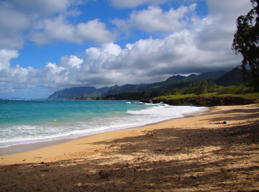
Hawaii’s Mountains – Here’s a link to the live web cam on the summit of near 13,800 foot Mauna Kea on the Big Island of Hawaii. This web cam is available during the daylight hours here in the islands…and when there’s a big moon shining down during the night at times. Plus, during the nights you will be able to see stars, and the sunrise and sunset too… depending upon weather conditions. Here’s the Haleakala Crater webcam on Maui – if it’s working.
Aloha Paragraphs
Our trade winds will remain active well
into the future…with passing windward
showers at times
Small Craft Wind Advisory… for the
windiest coasts and channels around
Maui County and the Big Island
The following numbers represent the most recent top wind gusts (mph), along with directions as of Friday evening:
27 Port Allen, Kauai – NE
38 Kuaokala, Oahu – NE
25 Molokai – ENE
32 Lanai – NE
32 Kahoolawe – NE
31 Kahului, Maui – NE
38 South Point, Big Island – NE
Here are the latest 24-hour precipitation totals (inches) for each of the islands as of Friday evening:
0.65 Mount Waialeale, Kauai
0.18 Kamananui Stream, Oahu
0.26 Molokai
0.00 Kahoolawe
0.00 Lanai
0.44 Puu Kukui, Maui
0.26 Honaunau, Big Island
We can use the following links to see what’s going on in our area of the north central Pacific Ocean. Here’s the latest NOAA satellite picture – the latest looping satellite image… and finally the latest looping radar image for the Hawaiian Islands.
~~~ Hawaii Weather Narrative ~~~
The trade winds will continue, blowing generally in the moderately strong category…into next week. Here’s a weather chart showing a large near 1027 millibar high pressure center to the north of the state. At the same time we see a near 980 millibar gale low pressure system far to the northeast, with its associated cold front draping southwest…to the northeast of Hawaii. The trade winds are forecast to last well into the future…into next week. There will be day to day variations, although 10-30+ mph wind speeds should continue to catch the edges generally.
There will be some windward showers at times…a couple elsewhere. Satellite imagery shows lower level clouds upstream of the islands to the northeast and east…along with some high clouds west of Kauai. There will continue to be some windward biased showers, most notably during the night and early morning hours. Here’s the looping radar image, showing light showers moving by, mostly over the offshore waters…although some coming into our windward sides in places too. There’s nothing unusual on the horizon in terms of rainfall in the near future.
One more full day of summer, with the Autumn Equinox occurring Sunday morning: The gusty late summer trade winds will prevail, providing good weather, with no major changes on tap in terms of wind. The trades today gusted up into the 30+ mph zone, to almost 40 mph in a few places. There are clouds upstream of the islands this evening, although radar doesn’t show any unusual moisture sources heading our way, riding towards us on the trades. I do see some high clouds to the west, as shown on this looping satellite picture – the bright ones. I’ll be back early Saturday morning with your next new weather narrative, I hope you have a great Friday night wherever you’re spending it! Aloha for now…Glenn.
Friday evening film: I’m going to take a chance on seeing what looks to be a good film on opening night. I typically don’t do this kind of thing, as I’m nervous that the theater will either be full, or I’ll have to sit too far forward. Actually, now that I think about it, if I got a bad seat I’d just get my money back and go next week. At any rate,this film is called Prisoners, starring Hugh Jackman, Jake Gyllenhaal, Viola Davis, Maria Bello, Terrence Howard, Mellissa Leo, and Paul Dano, The synopsis: Hugh Jackman and Jake Gyllenhaal in a story that poses the question: How far would you go to protect your child? Keller Dover (Jackman) is facing every parent’s worst nightmare. His six-year-old daughter, Anna, is missing, together with her young friend, Joy, and as minutes turn to hours, panic sets in. The only lead is a dilapidated RV that had earlier been parked on their street. Heading the investigation, Detective Loki (Gyllenhaal) arrests its driver, Alex Jones (Paul Dano), but a lack of evidence forces the only suspect’s release. Knowing his child’s life is at stake, the frantic Dover decides he has no choice but to take matters into his own hands. But just how far will this desperate father go to protect his family?
~~~ This looks like an obviously very intense film, being called a mystery, suspenseful, and dramatic. The critics are giving this film high marks, and I like both the main actors, so I’m looking forward to seeing it…although at the same time it looks pretty disturbing. I’ll let you know what I thought Saturday morning. Meanwhile, here’s the trailer to this film.
World-wide tropical cyclone activity:
Atlantic Ocean: There are no active tropical cyclones
A BROAD AREA OF LOW PRESSURE CENTERED ABOUT 400 MILES SOUTH-
SOUTHEAST OF BERMUDA IS PRODUCING A LARGE BUT DISORGANIZED AREA OF
CLOUDINESS…SHOWERS…AND A FEW THUNDERSTORMS TO THE EAST AND
NORTHEAST OF THE CENTER. ALTHOUGH UPPER-LEVEL WINDS ARE NOT
CONDUCIVE…SOME DEVELOPMENT IS POSSIBLE BEFORE THE SYSTEM MERGES
WITH A COLD FRONT IN A COUPLE OF DAYS. THIS SYSTEM HAS A LOW
CHANCE…20 PERCENT…OF BECOMING A SUBTROPICAL OR TROPICAL CYCLONE
DURING THE NEXT 48 HOURS…AND A LOW CHANCE…20 PERCENT…DURING
THE NEXT 5 DAYS.
Caribbean Sea: There are no active tropical cyclones
Gulf of Mexico: There are no active tropical cyclones
A LOW PRESSURE AREA OVER THE EXTREME WESTERN GULF OF MEXICO…
LOCATED ABOUT 50 MILES SOUTH OF BROWNSVILLE TEXAS…IS MOVING
TOWARD THE NORTH AT 10 TO 15 MPH. SINCE THE LOW IS BECOMING LESS
DEFINED AND PRODUCING ONLY MINIMAL SHOWER AND THUNDERSTORM
ACTIVITY…NO SIGNIFICANT DEVELOPMENT IS EXPECTED. THIS SYSTEM HAS
A LOW CHANCE…10 PERCENT…OF BECOMING A TROPICAL CYCLONE DURING
THE NEXT 48 HOURS. AFTER THAT TIME…THE LOW IS FORECAST TO MERGE
WITH A COLD FRONT IN THE NORTHWESTERN GULF OF MEXICO…AND THE
SYSTEM HAS A LOW CHANCE…10 PERCENT…OF BECOMING A TROPICAL
CYCLONE DURING THE NEXT 5 DAYS.
Here’s a satellite image of the Caribbean Sea…and the Gulf of Mexico.
Here’s the link to the National Hurricane Center (NHC)
Eastern Pacific: There are no active tropical cyclones
Here’s a wide satellite image that covers the entire area between Mexico, out through the central Pacific…to the International Dateline.
Central Pacific Ocean: There are no active tropical cyclones
Here’s a link to the Central Pacific Hurricane Center (CPHC)
Western Pacific Ocean: Typhoon 17W (Usagi) remains active – heading into the area between the Philippines and Taiwan…on its way towards Hong Kong. Here’s a JTWC graphical track map…along with a NOAA satellite image.
South Pacific Ocean: There are no active tropical cyclones
North and South Indian Oceans: There are no active tropical cyclones
Here’s a link to the Joint Typhoon Warning Center (JTWC)
Interesting: Misleading “Natural” Food Labels May Soon Be History – The only thing natural about the “natural” label is that such branding, naturally, often confuses consumers. But such misleading terms such as “natural” and “healthy” could soon become history, or at the very least score a makeover. Large food companies have hijacked such terms with dubious results—and never mind the fact “natural” is a loaded term. Is a food product only “natural” if it still has dirt on it after being yanked out of the ground? Is it still natural if ingredients, from whole wheat flour to goji berries to flax seeds, are pulverized, brominated, pasteurized and homogenized?
This labeling mayhem could change if The Food Labeling Modernization Act of 2013 becomes law. Congressman Frank Pallone, Jr. (D-NJ) and Congresswoman Rosa DeLauro (D-CT) introduced the new legislation at a press conference on Capitol Hill yesterday. If passed, the law would revise the Food, Drug and Cosmetic Act of 1938 and force companies to become more transparent about their ingredients.
So what could change?
Well, watch for the term “natural” to disappear from packaging. If a food product contains any artificial ingredient, color or flavor, the use of “natural” on packaging would be prohibited. The same goes for any ingredient synthesized but has the same chemical structure as what occurs in nature. Chemical additives such as high fructose syrup, maltodextrin and cocoa processed with alkali would also force companies to nix the natural label. Manufacturers of smoked, pickled and fermented foods, however, would still be able to use “natural” on their packaging as long as the other new requirements were followed.
Watch for the “healthy” label to also decline in use if the law passes. In the case of wheat-based products, the food would not be considered “healthy” if less than half of its weight came from whole grains.