


Air Temperatures – The following maximum temperatures were recorded across the state of Hawaii Tuesday:
Lihue, Kauai – 83
Honolulu airport, Oahu – 82
Kaneohe, Oahu – 79
Molokai airport – 81
Kahului airport, Maui – 84 (Record high for Tuesday / 93 – 1951)
Kona airport – 84
Hilo airport, Hawaii – 80
Air Temperatures ranged between these warmest and coolest spots near sea level – and on the highest mountain top around the state…as of 5pm Tuesday evening:
Barking Sands, Kauai – 86
Hilo, Hawaii – 74
Mauna Kea – 39 (near 13,800 feet on the Big Island)
Hawaii’s Mountains – Here’s a link to the live web cam on the summit of near 13,800 foot Mauna Kea on the Big Island of Hawaii. This web cam is available during the daylight hours here in the islands…and when there’s a big moon shining down during the night at times. Plus, during the nights you will be able to see stars, and the sunrise and sunset too…depending upon weather conditions. Here's the Haleakala Crater webcam on Maui…although this webcam is not always working correctly.
Tropical Cyclone activity in the eastern and central Pacific – Here’s the latest weather information coming out of the National Hurricane Center, covering the eastern north Pacific. You can find the latest tropical cyclone information for the central north Pacific (where Hawaii is located) by clicking on this link to the Central Pacific Hurricane Center. A satellite image, which shows the entire ocean area between Hawaii and the Mexican coast…can be found here. Here's a tropical cyclone tracking map for the eastern and central Pacific.
Aloha Paragraphs

Hana, Maui
Locally strong and gusty trade winds,
easing up some as we get into later
Thursday into Friday…onwards
Passing windward showers at
times…leeward in places
As this weather map shows, we have a large near 1034 millibar high pressure system to the north of the islands. At the same time, ridges of high pressure extend southwest and southeast from this high pressure cell. Our local winds will remain active from the trade wind direction…a little lighter Wednesday onwards.
The following numbers represent the most recent top wind gusts (mph), along with directions as of Tuesday evening:
31 Lihue, Kauai – NE
45 Kuaokala, Oahu – NE
33 Molokai – NE
33 Kahoolawe – NE
32 Kahului, Maui – NE
54 Lanai – NE
40 PTA Keamuku, Big Island – NE
We can use the following links to see what’s going on in our area of the north central Pacific Ocean. Here's the latest NOAA satellite picture – the latest looping satellite image…and finally the latest looping radar image for the Hawaiian Islands.
Here are the latest 24-hour precipitation totals (inches) for each of the islands as of Tuesday evening:
1.19 Mount Waialeale, Kauai
2.51 Oahu Forest NWR, Oahu
0.31 Molokai
0.00 Lanai
0.00 Kahoolawe
0.82 Puu Kukui, Maui
1.29 Kawainui Stream, Big Island
Sunset Commentary: Our trade winds will remain strong and gusty through Wednesday and Thursday…then tapering off gradually Friday into the weekend. There will continue to be some showers, falling generally in the light to moderately heavy range along our windward sides…especially along the Big Island coasts and slopes. These showers will stretch over into leeward sides at times too, at least on some of the smaller islands. There will be off and on passing showers along those north and east windward coasts and slopes periodically through the rest of the week…although tapering off some by Saturday.
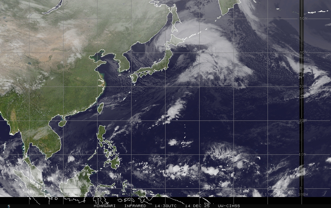
As this large view satellite image shows, we continue to have a rather steady supply of low clouds being transported in our direction by the strong and gusty trades Tuesday night. Meanwhile, there continues to be those few brighter white, high and middle level clouds to our west. At the same time, we see a bit of thunderstorm activity well to our south, down in the inter-tropical convergence zone (ITCZ) near the Equator. Finally, here's a closer look at our islands using this satellite picture…so we can keep track of any low level showery clouds…as they approach the windward sides at times.
Here in Kula, Maui at 535pm, it was mostly clear to partly cloudy with light breezes…and an air temperature of 78.4F degrees. Our local weather will remain quite pleasant, following early summer climatology pretty closely over the next several days. This suggests that our trade winds will continue blowing, with passing showers falling along our windward coasts and slopes at times. The leeward sides will remain nice and sunny for the most part during the days. The ocean is amply warm for great swimming opportunities, especially on the south and west facing leeward sides! These shores will have small surf conditions, with the next possible south swell coming up from the southern hemisphere…late this coming weekend into early next week. The east facing beaches will have the largest waves, brought our way by the wind swell, generated by the still gusty trades. ~~~ I'll be back early Wednesday morning with your next new weather narrative, I hope you have a great Tuesday night until then! Aloha for now…Glenn.
[World-wide tropical cyclone activity:
Central Pacific Ocean: There are no active tropical cyclones expected through the next 48 hours.
Eastern Pacific Ocean: There are no active tropical cyclones expected through the next 48 hours.
Atlantic Ocean/Gulf of Mexico/Caribbean: Tropical depression Debby is over the Atlantic Ocean. TD Debby was located approximately 90 miles east of St. Augustine, Florida, with sustained winds of 35 mph. Here's the National Hurricane Center's graphical track map for Debby…along with a satellite image. Here's a looping satellite image showing Debby as well. Debby has crossed northern Florida as a weakening tropical depression, where it is out into the Atlantic Ocean now…heading east and then northeast over open ocean.
A TROPICAL WAVE LOCATED NEARLY MIDWAY BETWEEN THE WEST COAST OF AFRICA AND THE WINDWARD ISLANDS CONTINUES TO PRODUCE DISORGANIZED SHOWERS AND A FEW THUNDERSTORMS. DEVELOPMENT OF THIS WAVE..IF ANY…WILL BE SLOW TO OCCUR AS IT MOVES WESTWARD AT 10 TO 15 MPH. THIS SYSTEM HAS A LOW CHANCE…10 PERCENT…OF BECOMING A TROPICAL CYCLONE DURING THE NEXT 48 HOURS.
ELSEWHERE…TROPICAL CYCLONE FORMATION IS NOT EXPECTED DURING THE NEXT 48 HOURS.
Here is a graphical tropical weather outlook…showing this tropical storm in the Gulf of Mexico
Western Pacific Ocean: The Joint Typhoon Warning Center (JTWC) is continuing warnings on tropical storm Doksuri (07W). It is located in the Philippine Sea…approximately 395 NM east-northeast of Manila. Doksuri has 40 mph sustained winds, with gusts to near 52 mph. It is expected to remain a tropical storm as it moves by just offshore from northernmost part Luzon Island, then moving on towards the mainland China coast near Hong Kong. Here is a JTWC graphical map showing where this tropical storm is located. Here's a satellite image of Doksuri.
South Indian Ocean: There are no active tropical cyclones
Interesting: Sea levels around the world can be expected to rise by several meters in coming centuries, if global warming carries on, according to new research. The study is the first to give a comprehensive projection for this long perspective, based on observed sea-level rise over the past millennium, as well as on scenarios for future greenhouse-gas emissions.
"Sea-level rise is a hard to quantify, yet critical risk of climate change," says Michiel Schaeffer of Climate Analytics and Wageningen University, lead author of the study. "Due to the long time it takes for the world's ice and water masses to react to global warming, our emissions today determine sea levels for centuries to come."
While the findings suggest that even at relatively low levels of global warming the world will have to face significant sea-level rise, the study also demonstrates the benefits of reducing greenhouse-gas emissions. Limiting global warming to below 1.5 degrees Celsius and subsequent temperature reductions could halve sea-level rise by 2300, compared to a 2-degree scenario.
If temperatures are allowed to rise by 3 degrees, the expected sea-level rise could range between 2 and 5 meters, with the best estimate being at 3.5 meters. The potential impacts are significant. "As an example, for New York City it has been shown that one meter of sea level rise could raise the frequency of severe flooding from once per century to once every three years," says Stefan Rahmstorf of the Potsdam Institute for Climate Impact Research, co-author of the study. Also, low lying deltic countries like Bangladesh and many small island states are likely to be severely affected.