


Air Temperatures – The following maximum temperatures were recorded across the state of Hawaii Tuesday:
Lihue, Kauai – 80
Honolulu airport, Oahu – 81
Kaneohe, Oahu – 81
Molokai airport – 78
Kahului airport, Maui – 81
Kona airport – 82
Hilo airport, Hawaii – 79
Air Temperatures ranged between these warmest and coolest spots near sea level – and on the highest mountain tops…as of 5pm Tuesday evening:
Kailua-kona – 79
Princeville, Kauai – 73
Haleakala Crater – 52 (near 10,000 feet on Maui)
Mauna Kea – 43 (near 13,800 feet on the Big Island)
Hawaii’s Mountains – Here’s a link to the live web cam on the summit of near 13,800 foot Mauna Kea on the Big Island of Hawaii. This web cam is available during the daylight hours here in the islands…and when there’s a big moon shining down during the night at times. Plus, during the nights you will be able to see stars, and the sunrise and sunset too…depending upon weather conditions. Here's the Haleakala Crater webcam on Maui…although this webcam is not always working correctly.
Aloha Paragraphs
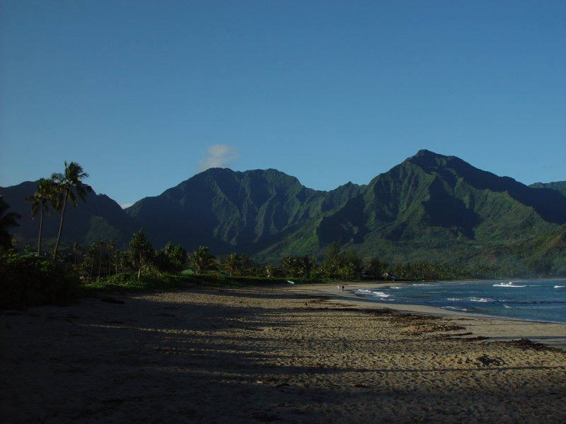
Hanalei, Kauai
Just a few windward showers…gradually lighter winds,
becoming voggy, with a few afternoon showers Thursday
through Saturday…followed by trades Sunday into next week
As this weather map shows, we have a high pressure system to the north of Hawaii. Our trade winds will gradually be easing up Wednesday into Thursday.
The following numbers represent the most recent wind gusts (mph), along with directions as of Tuesday evening:
18 Lihue, Kauai – ENE
28 Honolulu, Oahu – NE
29 Molokai – NNE
45 Kahoolawe – ENE
32 Kahului, Maui – NE
19 Lanai – NE
28 South Point, Big Island – NE
We can use the following links to see what’s going on in our area of the north central Pacific Ocean. Here's the latest NOAA satellite picture – the latest looping satellite image…and finally the latest looping radar image for the Hawaiian Islands.
Here are the latest 24-hour precipitation totals (inches) for each of the islands as of Tuesday evening:
0.84 Mount Waialeale, Kauai
0.06 Kahana, Oahu
0.00 Molokai
0.00 Lanai
0.00 Kahoolawe
0.24 Puu Kukui, Maui
0.89 Kawainui Stream, Big Island
Sunset Commentary: A moderately strong near 1028 millibar high pressure system remains active to the north of the state Tuesday evening, which will continue to provide trade winds for a while longer. This high pressure cell will keep our trade winds quite gusty, although gradually losing strength as the high pressure cell shifts eastward over the next few days. An approaching cold front will shove the high away from us, thereby bringing a lighter wind, convective weather pattern into play later Thursday into Saturday. The front won't make it to our islands, although will cause our local winds to become lighter. These lighter winds will veer to the southeast, bringing somewhat muggy conditions, in addition to possible voggy weather…along with a few afternoon interior showers locally. The mornings should be clear with slightly cooler than normal air temperatures. Our weather will return to near normal, with trade winds rebounding again later this weekend into early next week.
Here in Kula, Maui at 5pm, skies were partly cloudy, with light winds, and an air temperature of 74.7F degrees. The retired cold front, which brought good showers to our island chain the last several days, is now out of our weather picture. The trade winds are still blowing, quite briskly early this evening, with the top gust an impressive 45 mph on the small island of Kahoolawe! That was an isolated gust however, with the next highest gust at 32 mph at the Kahului airport. As we push into the night, and our air temperatures cool, we'll likely see some windward biased increase in clouds into Wednesday morning. The air mass is quite stable and dry now however, so showers should remain quite limited through much of the rest of this week…at least compared to the precipitation brought into the state by the front…the last few days. Our weather will remain pleasant, with the most drastic change occurring in the marine environment, where a rather large south swell will arrive in a couple of days…breaking along our south and west facing beaches. ~~~ I spent the afternoon in Wailuku town for a change, as my car was being worked on there. It was nice to be in a different part of the island for a change, as Wailuku isn't a part of my normal stomping grounds. I'll be back early Wednesday morning with your next new weather narrative. I hope you have a great Tuesday night from wherever you're spending it! Aloha for now…Glenn.
Interesting: Methane can be released to the atmosphere from a variety of natural and and made sources. The fragile and rapidly changing Arctic region is home to large reservoirs of methane, a potent greenhouse gas. As Earth's climate warms, the methane, frozen in reservoirs stored in Arctic tundra soils or marine sediments, is vulnerable to being released into the atmosphere, where it can add to global warming.
Now a multi-institutional study by Eric Kort of NASA's Jet Propulsion Laboratory, Pasadena, Calif., has uncovered a surprising and potentially important new source of Arctic methane: the ocean itself. Atmospheric methane levels are of interest due to its impact on climate change. Atmospheric methane is one of the most potent and influential greenhouse gases on Earth.
The 100-year global warming potential of methane is 25, i.e. over a 100-year period, it traps 25 times more heat per mass unit than carbon dioxide. Previously there have been many potential sources of atmospheric methane: Wetlands (20% – decomposition), animal flatulence and burps, forests, Arctic methane release and clathrate effect/permafrost, farming, natural gas releases or incomplete combustion, rice farming, and landfills.
Now there is a new potential methane source. During five HIPPO flights over the Arctic from 2009 to 2010, Kort's team observed increased methane levels while flying at low altitudes over the remote Arctic Ocean, north of the Chukchi and Beaufort Seas. The methane level was about one-half percent larger than normal background levels. But where was the methane coming from?
The team detected no carbon monoxide in the atmosphere that would point to possible contributions from human combustion activities. In addition, based on the time of year, location and nature of the emissions, it was extremely unlikely the methane was coming from high-latitude wetlands or geologic reservoirs.
By comparing locations of the enhanced methane levels with airborne measurements of carbon monoxide, water vapor and ozone, they pinpointed a source: the ocean surface, through cracks in Arctic sea ice and areas of partial sea ice cover. The cracks expose open Arctic seawater, allowing the ocean to interact with the air, and methane in the surface waters to escape into the atmosphere.
The team detected no enhanced methane levels when flying over areas of solid ice. Kort said previous studies by others had measured high concentrations of methane in Arctic surface waters, but before now no one had predicted that these enhanced levels of ocean methane would find their way to the overlying atmosphere. So how is the methane being produced?
The scientists aren't yet sure, but Kort hinted biological production from living things in Arctic surface waters may be a likely culprit. "It's possible that as large areas of sea ice melt and expose more ocean water, methane production may increase, leading to larger methane emissions," he said. He said future studies will be needed to understand the enhanced methane levels and associated emission processes and to measure their total contribution to overall Arctic methane levels.