


Air Temperatures – The following maximum temperatures were recorded across the state of Hawaii Wednesday:
Lihue, Kauai – 80
Honolulu airport, Oahu – 84 (Record high temperature for Wednesday: 88 – 1974, 1979, 1995)
Kaneohe, Oahu – 79
Molokai airport – 83
Kahului airport, Maui – 82
Kona airport – 82
Hilo airport, Hawaii – 80
Air Temperatures ranged between these warmest and coolest spots near sea level – and on the highest mountain tops…as of 5pm Wednesday evening:
Barking Sands, Kauai – 84
Kapalua, Maui – 75
Haleakala Crater – 43 (near 10,000 feet on Maui)
Mauna Kea summit – 30 (over 13,500 feet on the Big Island)
Here are the 24-hour precipitation totals (inches) for each of the islands as of Wednesday evening:
2.42 Mount Waialeale, Kauai
1.12 Nuuanu Upper, Oahu
0.14 Molokai
0.00 Lanai
0.05 Kahoolawe
1.67 Puu Kukui, Maui
3.55 Waiakea Uka, Big Island
Marine Winds – Here’s the latest (automatically updated) weather map showing a 1032 millibar high pressure system far to the northeast of the Hawaiian Islands. Our local trade winds will be moderately strong…stronger locally through Thursday.
Satellite and Radar Images: To view the cloud conditions we have here in Hawaii, please use the following satellite links, starting off with this Infrared Satellite Image of the islands to see all the clouds around during the day and night. This next image is one that gives close images of the islands only during the daytime hours, and is referred to as a Close-up visible image. This next image shows a larger view of the Pacific…giving perspective to the wider ranging cloud patterns in the Pacific Ocean. Finally, here's a Looping IR satellite image, making viewable the clouds around the islands 24 hours a day. To help you keep track of where any showers may be around the islands, here’s the latest animated radar image.
Hawaii’s Mountains – Here’s a link to the live web cam on the summit of near 13,500 foot Mauna Kea on the Big Island of Hawaii. The tallest peak on the island of Maui is the Haleakala Crater, which is near 10,000 feet in elevation. These two web cams are available during the daylight hours here in the islands…and when there’s a big moon shining down during the night at times. Plus, during the nights you will be able to see stars, and the sunrise and sunset too…depending upon weather conditions.
Tropical Cyclone activity in the eastern and central Pacific – Here’s the latest weather information coming out of the National Hurricane Center, covering the eastern north Pacific. You can find the latest tropical cyclone information for the central north Pacific (where Hawaii is located) by clicking on this link to the Central Pacific Hurricane Center. Here’s a tracking map covering both the eastern and central Pacific Ocean. A satellite image, which shows the entire ocean area between Hawaii and the Mexican coast…can be found here. Of course, as we know, our hurricane season ended November 30th here in the central Pacific…and begins again June 1st.
Aloha Paragraphs
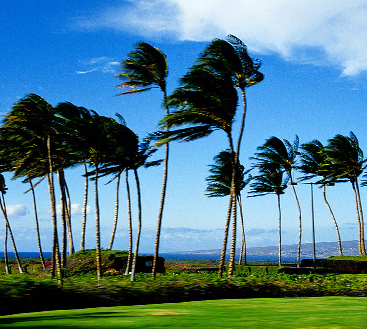
Gusty trade winds…windward showers
Our winds will be strong and gusty through Saturday…then becoming lighter Sunday into early next week. Glancing at this weather map, we find a moderately strong 1032 millibar high pressure system located to the northeast of the Hawaiian Islands…moving closer to the islands Wednesday night. As the trade winds have picked up now, we have a small craft wind advisory active across the entire state of Hawaii. The computer models continue to show lighter winds arriving later this weekend into early next week.
Our local winds will blow from the trade wind direction…the following numbers represent the strongest gusts, along with directions Wednesday evening:
30 mph Port Allen, Kauai – ENE
33 Honolulu, Oahu – NE
35 Molokai – NE
36 Kahoolawe – ESE
36 Kahului, Maui – NE
m Lanai Airport
31 South Point, Big Island – NE
We can use the following links to see what’s going on in our area of the north central Pacific Ocean Wednesday night. Looking at this NOAA satellite picture we find clouds over the ocean around the islands, with most of the heavy showers offshore to our southwest and west…although some have stretched over to the Big Island. We can use this looping satellite image to see a stream of high and middle level clouds to our south. At the same time we find lots of lower level clouds being carried our way on the strong trade winds…from the east. Checking out this looping radar image shows areas of moderately heavy showers over the ocean around the islands…with some good showers moving in over the islands too.
Sunset Commentary: The atmosphere is still somewhat unstable, with pockets of moderately heavy showers falling locally. The bulk of these are over the ocean, although the stronger trade winds now are carrying this moisture over the islands too. The presence of low pressure aloft will act to enhance the showers, which means that some will be quite generous. This enhancement will likely remain active through the work week. The windward coasts and slopes will be where the most frequent showers fall, although the leeward sides will get some showers at times too.
The computer models continue to suggest that this low pressure aloft, with its cold air, will edge back over the islands this weekend…into early next week. Thus, we'll see yet another period of unsettled weather returning…with even the chance of more thunderstorms flaring up again then. Meanwhile, our trade winds are forecast to weaken Sunday, which would bring the showers back over to the upcountry leeward sections, with less showers along the windward sides going into the early part of next week.
For the time being, the trade winds will be the primary weather event, and the showers that those stronger than normal winds carry our way. Wind gusts will be up in the 30+ mph range, with the chance that some of the windiest spots top 40 mph during the days. These winds will be able to carry some showers to some leeward areas on the smaller islands. Maui and the Big Island may still find some afternoon showers falling in the upcountry leeward areas.
As we move into the weekend, things could become even more interesting, as another late season upper level low pressure season edges overhead. Typically May and June are two of our driest months, although it looks likely that this first part of May could bring some locally heavy rains our way. This is a good thing, as we head towards our dry summer season. Could we find more lightning and thunder later this weekend into early next week…stay tuned!
I'll be back early Thursday morning with your next new weather narrative, I hope you have a great Wednesday night until then! Aloha for now…Glenn.
BUFFALO Says:
Glenn: Where do find those amazing pictures on the "Surf Report" page? ~~~Hi Buffalo, simple net searches for interesting waves, glad you like them! Aloha, Glenn