


July 22-23, 2010
Air Temperatures – The following maximum temperatures were recorded across the state of Hawaii Thursday afternoon:
Lihue, Kauai – 84
Honolulu, Oahu – 86
Kaneohe, Oahu – 84
Kaunakakai, Molokai – 83
Kahului, Maui – 87
Hilo, Hawaii – 83
Kailua-kona – 84
Air Temperatures ranged between these warmest and coolest spots near sea level – and on the highest mountain tops too…as of 5pm Thursday evening:
Barking Sands, Kauai – 85
Molokai airport – 73
Haleakala Crater – 52 (near 10,000 feet on Maui)
Mauna Kea summit – 46 (near 14,000 feet on the Big Island)
Precipitation Totals – The following numbers represent the largest precipitation totals (inches) during the last 24 hours on each of the major islands, as of Thursday afternoon:
0.28 Mount Waialeale, Kauai
0.25 Kahuku, Oahu
0.05 Molokai
0.00 Lanai
0.00 Kahoolawe
0.93 Puu Kukui, Maui
0.33 Kawainui Stream, Big Island
Marine Winds – Here’s the latest (automatically updated) weather map showing a 1033 millibar high pressure system far to the north-northeast of the islands. Our local trade winds will remain active through Friday…locally rather strong and gusty.
Satellite and Radar Images: To view the cloud conditions we have here in Hawaii, please use the following satellite links, starting off with this Infrared Satellite Image of the islands to see all the clouds around during the day and night. This next image is one that gives close images of the islands only during the daytime hours, and is referred to as a Close-up visible image. This next image shows a larger view of the Pacific…giving perspective to the wider ranging cloud patterns in the Pacific Ocean. Finally, here’s a Looping IR satellite image, making viewable the clouds around the islands 24 hours a day. To help you keep track of where any showers may be around the islands, here’s the latest animated radar image.
Hawaii’s Mountains – Here’s a link to the live webcam on the summit of near 14,000 foot Mauna Kea on the Big Island of Hawaii. The tallest peak on the island of Maui is the Haleakala Crater, which is near 10,000 feet in elevation. These two webcams are available during the daylight hours here in the islands…and when there’s a big moon rising just after sunset for an hour or two! Plus, during the nights and early mornings you will be able to see stars, and the sunrise too…depending upon weather conditions.
Tropical Cyclone activity in the eastern and central Pacific – Here’s the latest weather information coming out of the National Hurricane Center, covering the eastern north Pacific. You can find the latest tropical cyclone information for the central north Pacific (where Hawaii is located) by clicking on this link to the Central Pacific Hurricane Center. Here’s a tracking map covering both the eastern and central Pacific Ocean. A satellite image, which shows the entire ocean area between Hawaii and the Mexican coast…can be found here. Of course, as we know, our hurricane season won’t begin again until June 1st here in the central Pacific.
Aloha Paragraphs
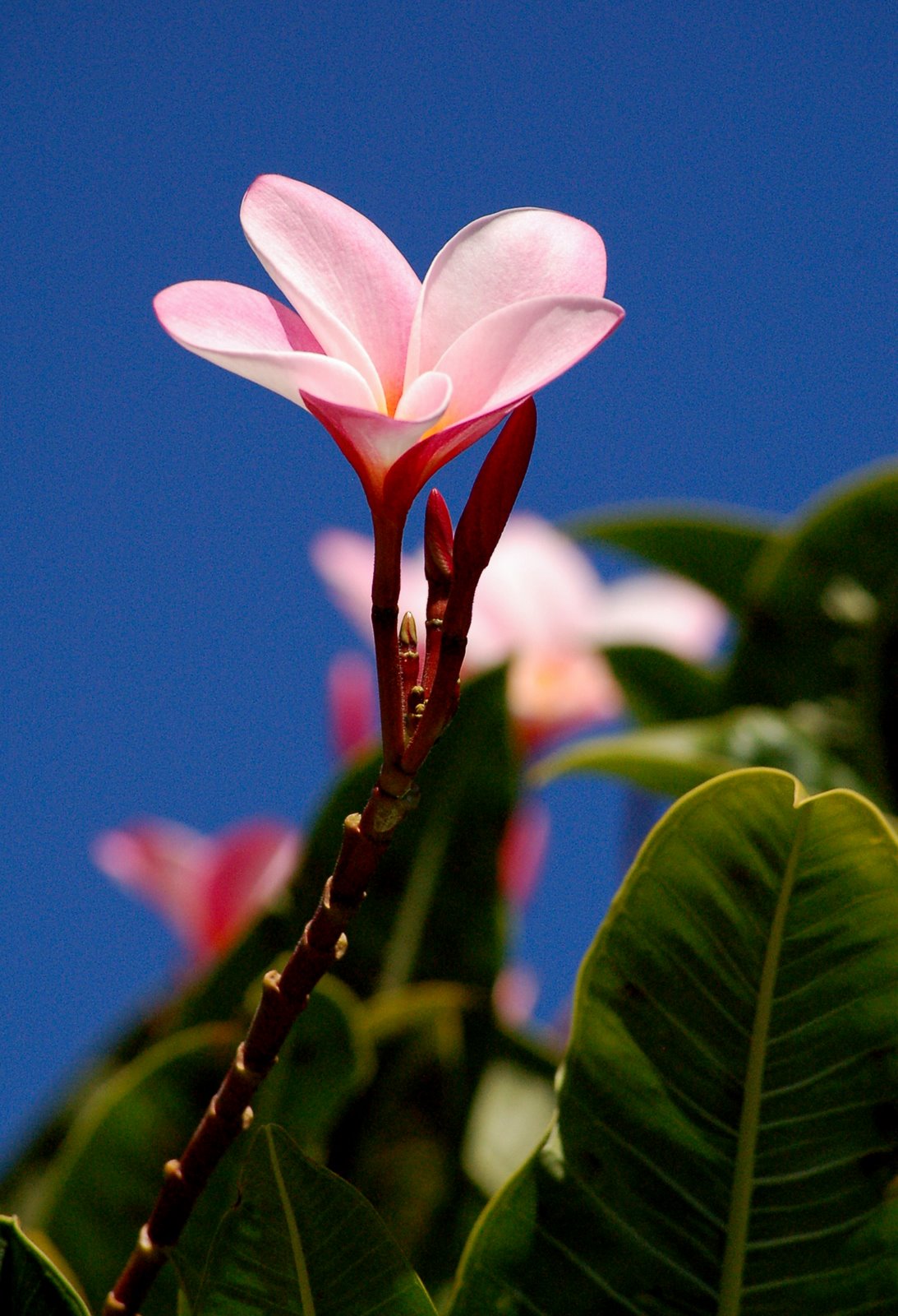
Fragrant Pink Plumeria
The trade winds will be somewhat stronger into Friday, and then weaken slightly this weekend…continuing into next week in the light to moderately strong range. The winds have remained moderately strong today, although were gusting up to 39 mph Thursday evening at the Kahului airport. This weather map shows our trade wind producing high pressure system weighing-in at 1033 millibars at the moment. The center of this high pressure cell is still quite far away. Its impact on our islands will include a boost in wind speeds through Friday. Along with this strengthening of the trade winds, we have small craft advisory flags active over the coastal waters, and through the major channels in
We’re looking at a fairly typical trade wind weather pattern, with the usual passing windward biased showers at times…generally dry leeward areas. We don’t see any out of the ordinary weather conditions on our horizon, with just a fairly common, summertime swath of high cirrus clouds over the islands. As we can see by looking at this IR satellite image, there is a considerable amount of this high cloudiness actually…especially to the west of the
The Caribbean area has a newly developed tropical cyclone, called tropical storm Bonnie. The current NHC graphical track map takes the strengthening storm out of the central Caribbean, towards the Florida Keys and extreme southern Florida…into the Gulf of Mexico. It then glides over the oil spill area, making impact near the Louisiana coast Sunday afternoon. Here’s a satellite image of the storm in the Bahamas currently.
It’s Thursday evening as I begin writing this last section of today’s narrative update. As noted above, our trade winds will remain quite gusty through Friday. These trade winds will blow clouds our way, with some showers falling at times here and there. The overlying atmosphere remains fairly stable though, which will limit showers from becoming too generous in any one location. The rather thick area of high cirrus clouds continues to move over the state this evening…although has shifted to the west at the time of this writing. ~~~ Here in Kihei, Maui, at around 530pm, the high cirrus clouds are still around, which suggests to me that we’ll see yet another nice sunset this evening! In general, as I mentioned in the two or three paragraphs above, our weather will remain pleasant. I’ll be back early Friday morning with your next new weather narrative from paradise, I hope you are well until then! Aloha for now…Glenn.
jt Says:
Mahalo for providing this infomation~~~You’re welcome JT, Aloha, Glenn