Big Island Weather Forecast

  Big Island North Big Island East Big Island Southeast Big Island South Kona Kohala Interior Summit Big Island Summit

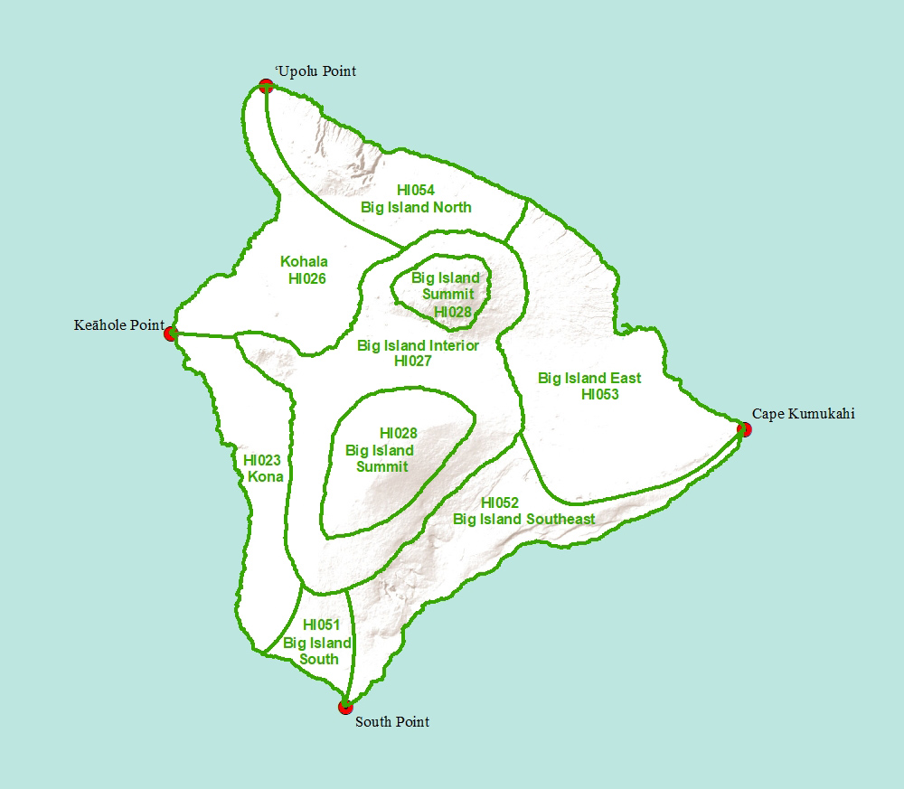
Click on a region of the map above to see weather forecasts for that area

Big Island Summit-


Headlines

HIGH WIND WARNING REMAINS IN EFFECT UNTIL 6 PM HST THIS EVENING


REST OF TODAY

Mostly cloudy. Windy. Scattered showers in the late morning and early afternoon. Isolated thunderstorms in the afternoon. Showers likely late in the afternoon. Highs around 55 at the visitor information station to around 43 near the summits. West winds 10 to 35 mph decreasing to up to 30 mph in the afternoon. Gusts up to 70 mph. Chance of rain 70 percent.


TONIGHT

Mostly cloudy. Breezy. Rain showers likely and isolated thunderstorms early in the evening, then isolated rain showers in the late evening and overnight. Lows around 41 at the visitor information station to around 32 near the summits. West winds up to 25 mph. Gusts up to 60 mph in the evening. Chance of rain 70 percent.


THURSDAY

Mostly cloudy. Breezy. Isolated rain showers early in the morning. Rain showers and snow showers in the afternoon. Precipitation may be heavy at times in the afternoon. No snow accumulation. Highs around 56 at the visitor information station to around 44 near the summits. Southwest winds up to 25 mph. Chance of precipitation 80 percent.


THURSDAY NIGHT

Mostly cloudy. Rain showers and snow showers in the evening. Precipitation may be heavy at times in the evening. Snow accumulation up to 1 inch. Lows 32 to 50. Southwest winds up to 15 mph increasing to 10 to 15 mph after midnight. Chance of precipitation 80 percent.


FRIDAY

Mostly cloudy with rain showers likely and isolated thunderstorms. Locally heavy rainfall possible. Highs 44 to 63. Southwest winds 10 to 15 mph. Chance of rain 70 percent.


FRIDAY NIGHT

Windy. Cloudy with isolated showers and thunderstorms. Lows 33 to 51. Southwest winds 10 to 25 mph increasing to 10 to 35 mph with gusts to 60 mph after midnight. Chance of rain 20 percent.


SATURDAY

Cloudy. Very windy. Isolated showers and thunderstorms in the morning, then rain showers and isolated thunderstorms in the afternoon. Locally heavy rainfall possible. Highs 43 to 63. Southwest winds 10 to 40 mph with gusts to 65 mph. Chance of rain 80 percent.


SATURDAY NIGHT

Very windy. Cloudy with isolated showers and thunderstorms. Lows 32 to 50. Southwest winds 10 to 45 mph with gusts to 85 mph. Chance of rain 20 percent.


SUNDAY

Windy. Cloudy with numerous rain showers and isolated thunderstorms. Locally heavy rainfall possible. Highs 42 to 62. Southwest winds 10 to 30 mph with gusts to 50 mph decreasing to 10 to 20 mph in the afternoon. Chance of rain 70 percent.


SUNDAY NIGHT

Cloudy. Rain showers likely and isolated thunderstorms in the evening, then rain showers likely after midnight. Locally heavy rainfall possible. Lows 30 to 49. Southwest winds 10 to 15 mph shifting to the west after midnight. Chance of rain 70 percent.


MONDAY

Cloudy. Rain showers likely in the morning, then chance of rain showers in the afternoon. Locally heavy rainfall possible in the morning. Highs 40 to 59. West winds up to 10 mph. Chance of rain 70 percent.


MONDAY NIGHT

Mostly cloudy with a 50 percent chance of rain showers. Lows 31 to 48. Light winds becoming southwest up to 10 mph after midnight.


TUESDAY

Mostly cloudy with isolated rain showers. Highs 40 to 60. Southwest winds up to 10 mph shifting to the northwest in the afternoon. Chance of rain 20 percent.