


Air Temperatures – The following high temperatures (F) were recorded across the state of Hawaii Wednesday…along with the low temperatures Wednesday:
83 – 70 Lihue, Kauai
86 – 72 Honolulu, Oahu
83 – 68 Molokai
87 – 66 Kahului AP, Maui
84 – 72 Kona Int’l AP
82 – 66 Hilo AP, Hawaii
Here are the latest 24-hour precipitation totals (inches) for each of the islands as of Wednesday evening:
2.84 Mount Waialeale, Kauai
1.44 Kahana, Oahu
0.00 Molokai
0.00 Lanai
0.05 Kahoolawe
0.52 Kula 1, Maui
1.21 Pahoa, Big Island
The following numbers represent the strongest wind gusts (mph) as of Wednesday afternoon:
15 Poipu, Kauai
20 Kalaeloa, Oahu
25 Molokai
22 Lanai
29 Kahoolawe
25 Kahului AP, Maui
23 South Point, Big Island
Hawaii’s Mountains – Here’s a link to the live webcam on the summit of our tallest mountain Mauna Kea (nearly 13,800 feet high) on the Big Island of Hawaii. This webcam is available during the daylight hours here in the islands, and at night whenever there’s a big moon shining down. Also, at night you will be able to see the stars — and the sunrise and sunset too — depending upon weather conditions.
Aloha Paragraphs

A gale low pressure system northeast, has a trailing cold front northeast of the state…with a new cold front approaching to the northwest

The cold front won’t reach the state

Variable clouds, some clear areas…deeper clouds north and west of Kauai

Showers locally…some area quite generous – Looping radar image
Wind Advisory…Big Island summits / 40-50 mph with gusts to 60
~~~ Hawaii Weather Narrative ~~~
Broad brush overview: The trade winds will weaken through Friday, allowing widespread leeward sea breezes Friday and Saturday, before strengthening again Sunday. A trough of low pressure aloft will linger near Kauai through Friday, bringing locally heavy showers to the western islands. The majority of the rainfall will focus over mountain slopes, though isolated showers could develop over leeward areas at times. More stable trade wind weather is expected early next week.
Details: High pressure north of the state will produce moderate trade winds through Thursday. This high will move eastward over the next few days, with trade winds diminishing gradually, as it moves further away. Aloft, a trough located just west of Kauai is bringing atmospheric instability to the western half of the state. This instability will keep the threat of heavier showers over windward and mountain areas, and afternoon convective showers in the upcountry leeward areas. The trough will linger over the area through Friday…before weakening and moving northeast during the weekend.
Looking ahead: Sunday, trade winds will increase, as a new high pressure cell moves into the Central Pacific, with breezy trade winds expected early next week. An old cold front will ride in on the trades, keeping windward and mountain areas on the wet side during the early part of next week. Trades look to diminish again by next Wednesday…as a low pressure system forms northwest of the state.
Here’s a wind profile of the Pacific Ocean – Closer view of the islands / Here’s the vog forecast animation / Here’s the latest weather map
Marine environment details: Winds and seas will remain below small craft advisory levels through the remainder of the week, and into the early part of next week. A new high pressure system building north of the area this weekend will increase winds, although look to remain below advisory levels.
Surf will remain below advisory levels on all shores into next week. The current northwest swell will continue to lower Thursday, with a new northwest swell expected to arrive tomorrow night. This new swell will be a bit larger than the current one, although remain below advisory levels…as it peaks Friday. A swell from the southern hemisphere is expected to arrive tomorrow night, peak Saturday, then slowly subside. The pressure gradient between a strong high pressure cell northwest of the area, and a deepening low northeast of the area…may produce a large northeast swell early next week.

Showers will be active at times…some may be locally heavy
Southern California weather summary: A couple of low pressure systems passing well to the north, may bring rain showers at times to portions of Southwest California through Thursday…and again Sunday through late next Tuesday. Locally gusty northerly winds are possible for wind prone areas in the wake of these low pressure systems.

More clouds taking aim on Southern California

Mostly clear…clouds offshore and north
World-wide tropical cyclone activity
![]()
>>> Atlantic Ocean: The 2017 hurricane season begins June 1st
Here’s a satellite image of the Atlantic Ocean
>>> Caribbean: The 2017 hurricane season begins June 1st
>>> Gulf of Mexico: The 2017 hurricane season begins June 1st
Here’s a satellite image of the Caribbean Sea…and the Gulf of Mexico
Here’s the link to the National Hurricane Center (NHC)
>>> Eastern Pacific: The 2017 hurricane season begins May 15th
Here’s the NOAA 2016 Hurricane Season Summary for the Eastern Pacific Basin
Here’s a wide satellite image that covers the entire area between Mexico, out through the central Pacific…to the International Dateline.
Here’s the link to the National Hurricane Center (NHC)
>>> Central Pacific: The 2017 hurricane season begins June 1st
Here’s the NOAA 2016 Hurricane Season Summary for the Central Pacific Basin
Here’s a link to the Central Pacific Hurricane Center (CPHC)
>>> Northwest Pacific Ocean: No active tropical cyclones
>>> North and South Indian Oceans / Arabian Sea: No active tropical cyclones
Here’s a link to the Joint Typhoon Warning Center (JTWC)
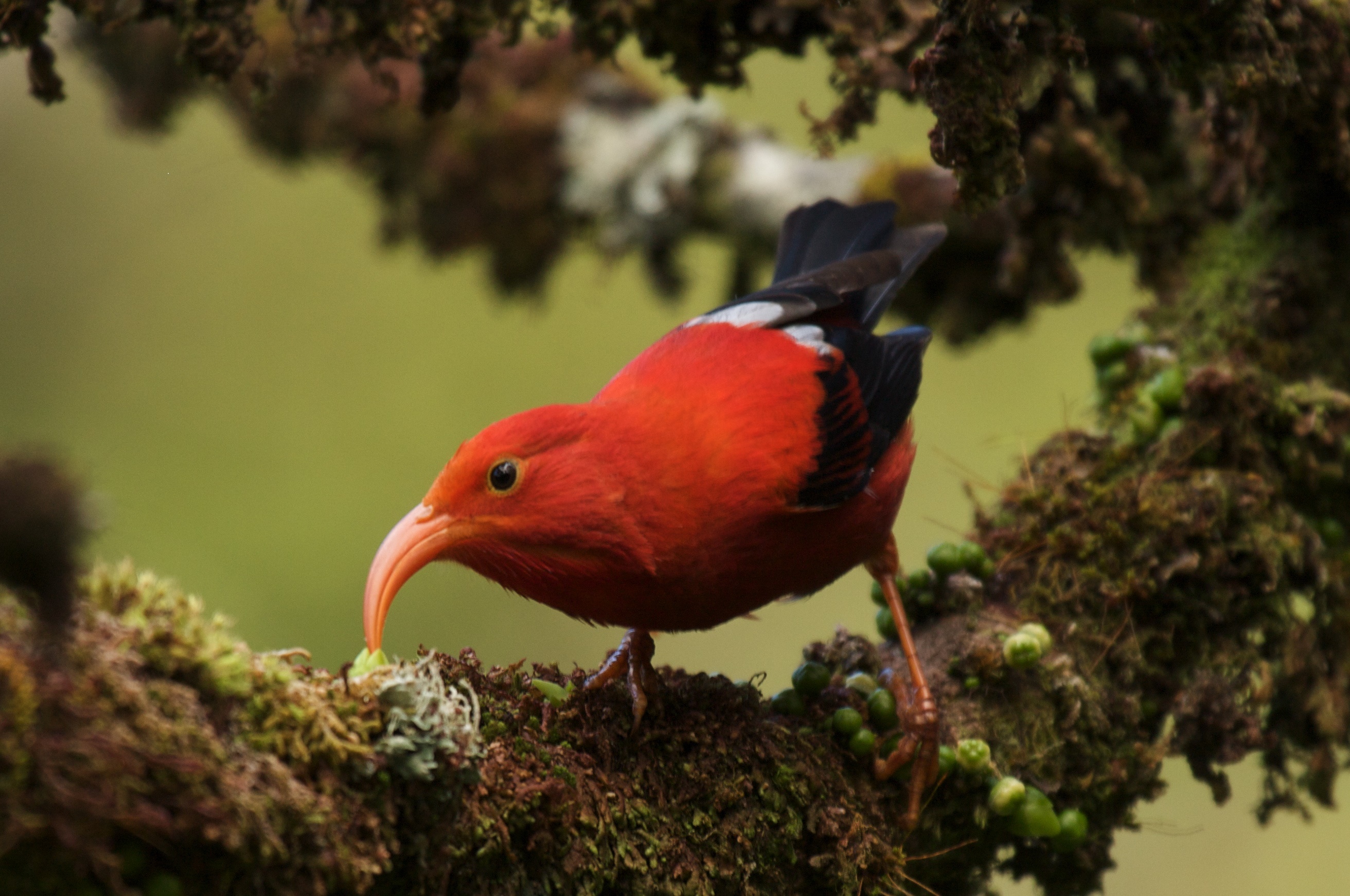
Interesting: Scientists Evaluate Ways to Save Hawaiian Honeycreeper – A new study evaluates conservation actions that could save the iconic Hawaiian Honeycreeper bird, also known as the “Iiwi,” providing land managers with guidance on how to save this important pollinator. The study demonstrates how the movement of Iiwi across the slopes of Hawaii’s volcanoes in search of nectar from flowers can increase their risk of contracting disease and dying.
Iiwi are highly susceptible to introduced avian malaria, which is transmitted by a tropical mosquito that only occurs at low to mid-elevations of Hawaii. Iiwi breed only in high-elevation forests where the temperatures are too cool for the mosquito to occur, but their flights to find flowering trees can take them to where diseases occur.
“Iiwi evolved over millennia to track flowering trees up and down the slopes of Hawaii’s volcanoes. Their flights to seek out blooming flowers allowed them to thrive across the Hawaiian Islands in the past,” said Dr. Eben Paxton, co-author of the study and researcher with the U.S. Geological Survey. “Today, however, with avian disease rampant at low and mid-elevations of the islands, these movements could lead to their extinction.”
Warming temperatures are helping mosquitoes and the diseases they carry to move into increasingly higher elevation mountain forests, leading to increased contacts with Iiwi. As a result, Iiwi have gone from being one of the most common native birds in Hawaii over 100 years ago, to now being a species limited to remote forests and in danger of extinction.
Researchers tracked Iiwi movements by attaching small radio transmitters to the birds and followed their signal as they moved across the forests of Hakalau Forest National Wildlife Refuge and beyond. These movements were mapped with the current distribution of avian malaria and future disease distributions under climate change. Researchers were then able to evaluate how the current and future distribution of disease are likely to affect Iiwi populations.
The study showed that after the breeding season, Iiwi leave their disease-free breeding areas in search of blooming trees and travel to lower elevations where disease is present. As disease expands into increasingly higher elevation areas because of increasing temperatures, disease-free areas are projected to vanish and Iiwi rapidly decline. The study indicates that Iiwi may go extinct by 2100 if action is not taken to control avian diseases and secure disease-free habitat.
The study evaluated the benefits of increasing habitat and availability of nectar at high elevations, reducing mosquito numbers, and promoting the evolution of disease resistance. Efforts to reduce disease prevalence through mosquito control could help buy time, but far-ranging movements of Iiwi mean a large-scale reduction in disease would likely be required to save the species. Current efforts to reduce or eliminate mosquito’s that transmit avian malaria may be the most effective means of preserving the species.
Additionally, habitat restoration efforts to increase native flowering trees at high elevations in parallel with mosquito control efforts may be the most effective conservation plan available to managers at this time. While more resistance to malaria is the best outcome for long-term survival of the species, this may be the most difficult option for managers to directly affect.
“There is nothing more spectacular than seeing the elegant profile of a scarlet Iiwi against a deep blue Hawaiian sky as it feeds in the brilliant red blossoms of Lehua in our native forest. The decline of this magnificent and culturally important bird is an irreplaceable loss to our natural heritage in Hawaii. The Iiwi, as our “canary in the coal mine,” provides a clear warning of the threats moving into Hawaii’s last sanctuaries for not only rare bird species, but our entire island ecosystem. Conservation efforts to save Iiwi are urgently needed to ensure that future generations will continue to see the living legacy of our unique island home. Those efforts will benefit not only Iiwi, but all life in our islands.” said Dr. Samuel M. ‘Ohukanihi‘a Gon, III, Senior Scientist and Cultural Advisor, The Nature Conservancy of Hawaii.
Helen Says:
Getting some showers upcountry now! Hope you and your mom are doing well.
Aloha,Helen
~~~ Hi Helen, good news, thanks for letting us know about those upcountry showers. My Mom is doing well, thanks for inquiring! I hope you are well too.
Aloha, Glenn