


Air Temperatures – The following high temperatures (F) were recorded across the state of Hawaii Friday…along with the low temperatures Friday:
78 – 69 Lihue, Kauai
80 – 68 Honolulu, Oahu
78 – 68 Molokai
81 – 66 Kahului AP, Maui
80 – 67 Kona Int’l AP
78 – 67 Hilo AP, Hawaii
Here are the latest 24-hour precipitation totals (inches) for each of the islands as of Friday evening:
0.08 Kilohana, Kauai
0.11 Manoa Lyon Arboretum, Oahu
0.16 Molokai
0.00 Lanai
0.00 Kahoolawe
0.01 Mahinahina, Maui
0.42 Lower Kahuku, Big Island
The following numbers represent the strongest wind gusts (mph) as of Friday evening:
24 Port Allen, Kauai
30 Kuaokala, Oahu
22 Molokai
25 Lanai
28 Kahoolawe
27 Kapalua, Maui
31 Kealakomo, Big Island
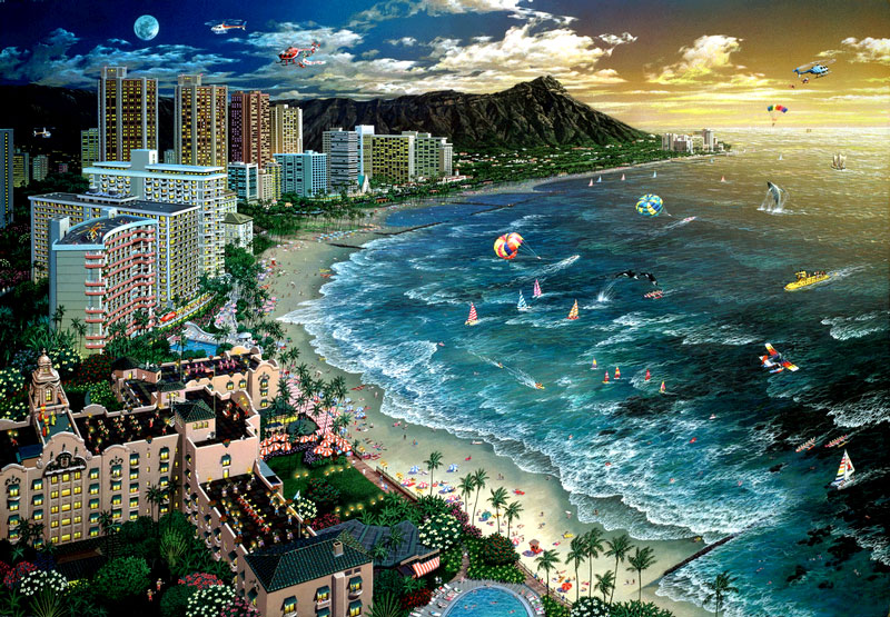
Hawaii’s Mountains – Here’s a link to the live webcam on the summit of our tallest mountain Mauna Kea (nearly 13,800 feet high) on the Big Island of Hawaii. This webcam is available during the daylight hours here in the islands, and at night whenever there’s a big moon shining down. Also, at night you will be able to see the stars — and the sunrise and sunset too — depending upon weather conditions.
Aloha Paragraphs

A counter-clockwise rotating low pressure system is located far northeast of the state

Lots of high clouds to the west and north of Hawaii

These high and middle level clouds moving over the islands locally

A few showers locally – Looping radar image
High Surf Advisory…north and west shores of Kauai, Oahu, Molokai, and north shore of Maui
~~~ Hawaii Weather Narrative ~~~
Symphony of Light – Kauai Timelapse (full screen is best)
Winds have started to weaken…and are expected to continue this trend through the weekend. The trades will diminish as low pressure to the north pushes a high pressure ridge closer to the islands. As the ridge approaches, local winds will decrease, while turning southeast in direction by Sunday. These southeasterly breezes will prompt leeward sea breezes, increase our humidity levels…and potentially carry volcanic haze (vog) to the smaller islands into next week.
A low pressure system to the north, along with the southeasterly flow…will bring increasing moisture up from the deeper tropics. This will carry increasing rainfall to the southeast sections of the Big Island. The moisture will slowly work its way up the island chain Sunday night into early next week…bringing more widespread showers. Models are indicating low pressure troughs sweeping over the islands at times from Sunday into next week, bringing added instability to the atmosphere. There will be the potential for heavier afternoon convective showers Sunday for the Big Island…and then Monday into Wednesday for other parts of the state.
This southeasterly air flow, combined with daytime sea breezes will continue through the middle of next week…before light south to southwesterly kona winds arrive for the second half of the week. The upper level trough of low pressure is expected to weaken, so that during the second half of the week…afternoon convective showers will diminish as well. The models then go on to show another low pressure system forming in the vicinity of the islands Wednesday, although quickly take this low to the northeast away from the islands…leaving the state under a light southerly flow with passing scattered showers. We could see this latter part of next week turning wetter, although there’s still uncertainty at this point.
Here’s a wind profile of the Pacific Ocean – Closer view of the islands / Here’s the vog forecast animation / Here’s the latest weather map
Marine environment details: The northwest swell appears to have arrived at the northwest buoys, although a little later than forecast by the previous wave model runs. This swell is expected to peak Saturday before slowly declining Sunday through Monday. A High Surf Advisory has been issued for the north and west facing shores from Kauai County to Maui County.
With respect to the winds, the area of high pressure north of the state has been eroding due to the approach of a developing low pressure system to the northwest. As a result, trade winds are weakening and will veer to an east-southeastly or southeasterly direction this weekend. This means the Small Craft Advisory for the windier coastal waters of Maui County and the Big Island will end. However, the winds will not drop fast enough before the new swell reaches the western coastal waters so a Small Craft Advisory has been issued for the areas north of Kauai County and Oahu.
Elsewhere, a low to the north of the state should provide a small north swell tonight into Saturday. This swell should turn more out of the northeast Sunday through Tuesday. A reinforcing swell from the northeast may arrive Monday, and produce advisory level surf for the east-facing shores. There’s also a small south-southwest swell arriving tonight, before gradually subsiding over the weekend. This will provide a small bump to the relatively quiet surf along the leeward beaches.
Lighter winds ahead, gradually turning more humid…with possible vog with time
World-wide tropical cyclone activity
![]()
>>> Atlantic Ocean: The 2017 hurricane season begins June 1st
Here’s a satellite image of the Atlantic Ocean
>>> Caribbean: The 2017 hurricane season begins June 1st
>>> Gulf of Mexico: The 2017 hurricane season begins June 1st
Here’s a satellite image of the Caribbean Sea…and the Gulf of Mexico
Here’s the link to the National Hurricane Center (NHC)
>>> Eastern Pacific: The 2017 hurricane season begins May 15th
Here’s the NOAA 2016 Hurricane Season Summary for the Eastern Pacific Basin
Here’s a wide satellite image that covers the entire area between Mexico, out through the central Pacific…to the International Dateline.
Here’s the link to the National Hurricane Center (NHC)
>>> Central Pacific: The 2017 hurricane season begins June 1st
Here’s the NOAA 2016 Hurricane Season Summary for the Central Pacific Basin
Here’s a link to the Central Pacific Hurricane Center (CPHC)
>>> Northwest Pacific Ocean: No active tropical cyclones
>>> North and South Indian Oceans / Arabian Sea: No active tropical cyclones
Here’s a link to the Joint Typhoon Warning Center (JTWC)
Interesting: A new study on how ocean currents transport floating marine debris is helping to explain how garbage patches form in the world’s oceans – Researchers from the University of Miami (UM) Rosenstiel School of Marine and Atmospheric Science and colleagues developed a mathematical model that simulates the motion of small spherical objects floating at the ocean surface.
The researchers feed the model data on currents and winds to simulate the movement of marine debris. The model’s results were then compared with data from satellite-tracked surface buoys from the NOAA Global Drifter Program’s database. Data from both anchored buoys and those that become unanchored, or undrogued, over time were used to see how each accumulated in the five ocean gyres over a roughly 20-year timeframe.
“We found that undrogued drifters accumulate in the centers of the gyres precisely where plastic debris accumulate to form the great garbage patches,” said Francisco Beron-Vera, a research associate professor in the UM Rosenstiel School’s Department of Atmospheric Sciences and lead author of the study. “While anchored drifters, which are designed to closely follow water motion, take a much longer time to accumulate in the center of the gyres.”
The study, which takes into account the combined effects of water and wind-induced drag on these objects, found that the accumulation of marine debris in the subtropical gyres is too fast to be due solely to the effect of trade winds that converge in these regions.
“We show that the size and weight of the drifters must be taken into account to fully explain the accumulation,” said Maria Josefina Olascoaga, an associate professor in the UM Rosenstiel School’s Department of Ocean Sciences and a co-author of the study.
The model could be used to track shipwrecks, airplane debris, sea ice and pollution among the many practical applications according to the researchers.
Alan Says:
Aloha Glenn-I was wondering what exactly differentiates a normal trade wind and a Kona wind? Mahalo!
~~~ Hi Alan, this is a good question. The most simple and basic answer is that the trade winds come in from the northeast to east…while Kona winds come in from the south to west.
Aloha, Glenn