


Air Temperatures – The following maximum temperatures (F) were recorded across the state of Hawaii Wednesday…along with the low temperatures Wednesday:
82 – 72 Lihue, Kauai
87 – 75 Honolulu, Oahu
83 – 74 Molokai AP
87 – 72 Kahului AP, Maui
89 – 75 Kailua Kona
83 – 70 Hilo AP, Hawaii
Here are the latest 24-hour precipitation totals (inches) for each of the islands…as of Wednesday evening:
1.02 Mount Waialeale, Kauai
0.17 Manoa Lyon Arboretum, Oahu
0.01 Molokai AP
0.00 Lanai
0.00 Kahoolawe
0.33 West Wailuaiki, Maui
1.14 Honaunau, Big Island
The following numbers represent the strongest wind gusts (mph)…as of Wednesday evening:
21 Port Allen, Kauai
28 Kuaokala, Oahu
23 Molokai
27 Lanai
28 Kahoolawe
30 Maalaea Bay, Maui
30 South Point, Big Island
Hawaii’s Mountains – Here’s a link to the live web cam on the summit of near 13,800 foot Mauna Kea on the Big Island of Hawaii. This web cam is available during the daylight hours here in the islands…and when there’s a big moon shining down during the night at times. Plus, during the nights you will be able to see stars, and the sunrise and sunset too…depending upon weather conditions.
Aloha Paragraphs

Counterclockwise rotating upper level low pressure systems…far northwest and northeast of the islands

High cirrus clouds…with thunderstorms well to the west and southwest

Clear with scattered low clouds over the islands…thin wisps of cirrus

Showers over the islands locally – Looping radar image
High Surf Advisory…south facing shores
Small Craft Advisory…windiest coasts and channels around Maui County and the Big Island
~~~ Hawaii Weather Narrative ~~~
Gusty trade winds remaining active through the week…into early next week. Here’s the latest weather map, showing a strong high pressure system in the area north of Hawaii. This near 1040 millibar high pressure system is forecast to maintain both its presence, and its general strength for the time being. This will keep a steady supply of trade winds across our area through the next week…which is very common for this early summer season.
Here’s a wind profile…of the offshore waters around the islands – with a closer view
Here’s the Hawaiian Islands Sulfate Aerosol animated graphic – showing vog forecast
As usual, with the trade winds blowing…they’ll carry showers our way periodically. There will be occasional showers, primarily focused along the windward sides. As the trade winds remain active…some showers may spread over into the leeward sides on the smaller islands. Otherwise, our weather will remain fine and dandy through the rest of this week into early next week.
Marine environment details: Moderate trade winds will remain in place over the marine area through tonight, with conditions close to small craft advisory (SCA) thresholds across the windier waters around Maui County and the Big Island. The trades are expected to strengthen slightly Thursday through the upcoming weekend, with SCA level winds likely to return in the typically windy waters.
Current buoy observations indicate that the incoming south swell will likely translate into surf heights just below advisory levels today through Thursday night. It would only take a slight increase in the swell height to result in a need for a high surf advisory. The surf is expected to decline Friday into the weekend, with another south swell approaching advisory levels moving in late Sunday into early next week.
A moderate short period northeast swell is expected to arrive late this afternoon or tonight and continue through the weekend. This will elevate surf along exposed north and east facing shores…but conditions are expected to remain below advisory levels.
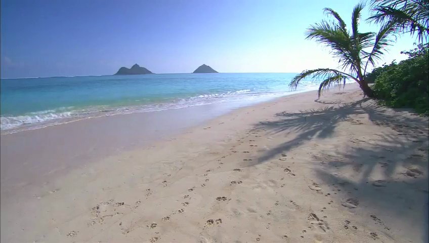
Windward Oahu…a great place for a walk an talk
Here on Maui – Early Wednesday morning is dawning mostly clear, with just a few windward clouds. The just past full moon is sinking down into the western horizon. There’s some high cirrus clouds to our north, which lit up a pretty orange color around sunrise. The air temperature was 51.4F degrees at 530am. Meanwhile, at about the same time, the Kahului airport was reporting clear skies, with a temperature of 73 degrees, while Hana was at 72…with the summit of the Haleakala Crater registering 45 degree.
– Wednesday afternoon, another beautiful early summer day! Today we had so many small helicopters zipping over this west slope of the Haleakala Crater. I think they were doing something called Green Harvest, or some such name. This is when the government, or whoever they are, use helicopters to spot marijuana patches that people are growing…and then bust them.
– Early evening, clear to partly cloudy, with some cloudy areas locally…and a bit of high cirrus clouds too. If these high icy clouds stick around until sunset, we may get some more color, like we have been having lately.
World-wide tropical cyclone activity
>>> Atlantic Ocean: No active tropical cyclones
Tropical cyclone formation is not expected during the next 5 days
Here’s a satellite image of the Atlantic Ocean
>>> Caribbean Sea: No active tropical cyclones
Disorganized showers and thunderstorms over the northwestern Caribbean Sea are associated with a tropical wave and a weak low pressure area. Development of this system is not expected today due to it moving over the Yucatan Peninsula and Belize later today. Some development of this system is possible on Friday if the system emerges over the Bay of Campeche before again moving inland on Saturday.
* Formation chance through 48 hours…low…10 percent
* Formation chance through 5 days…low…10 percent
>>> Gulf of Mexico: No active tropical cyclones
Tropical cyclone formation is not expected during the next 5 days
Here’s a satellite image of the Caribbean Sea…and the Gulf of Mexico
Here’s the link to the National Hurricane Center (NHC)
>>> Eastern Pacific: No active tropical cyclones
Tropical cyclone formation is not expected during the next 5 days
Here’s a wide satellite image that covers the entire area between Mexico, out through the central Pacific…to the International Dateline.
Here’s the link to the National Hurricane Center (NHC)
>>> Central Pacific: No active tropical cyclones
No tropical cyclones expected through the next two days
Here’s a link to the Central Pacific Hurricane Center (CPHC)
>>> South Pacific Ocean: No active tropical cyclones
>>> North and South Indian Oceans / Arabian Sea: No active tropical cyclones
Here’s a link to the Joint Typhoon Warning Center (JTWC)
Interesting: 94-million-year-old climate change event holds clues for future – A major climate event millions of years ago that caused substantial change to the ocean’s ecological systems may hold clues as to how the Earth will respond to future climate change, a Florida State University researcher said.
In a new study published in Earth and Planetary Science Letters, Assistant Professor of Geology Jeremy Owens explains that parts of the ocean became inhospitable for some organisms as the Earth’s climate warmed 94 million years ago. As the Earth warmed, several natural elements — what we think of as vitamins — depleted, causing some organisms to die off or greatly decrease in numbers.
The elements that faded away were vanadium and molybdenum, important trace metals that serve as nutrients for ocean life. Molybdenum in particular is used by bacteria to help promote nitrogen fixation, which is essential for all forms of life.
“These trace metals were drawn down to levels below where primary producing organisms, the base of the ocean food chain, can survive,” Owens said. “This change inhibited biology.”
The warming of the Earth during this time period took place over millions of years. At the time, the world was a drastically different place. Palms were found in Canada and lily pads dotted the Arctic Circle, while dinosaurs existed on land.
But as the world continued to warm, it caused “a natural feedback that had a dramatic effect on the world’s ocean chemistry, which is recorded in the rock record,” Owens said.
Owens and a team of researchers examined samples of sediment provided through the Ocean Drilling Program, a National Science Foundation-supported program that uses the scientific drill ship JOIDES Resolution to recover samples beneath the ocean floor off the coast of Venezuela. They examined a 10-meter portion that they pinned to the climate turnover event by analyzing microfossils or tiny shell organisms in the layer.
Owens found that ecological communities experienced a substantial shift 94 million years ago because many types of bacteria and algae were affected by the changes in ocean nutrients.
“Some of these species didn’t totally die, but they didn’t flourish the way they used to,” Owens said.
The decrease of these trace metals also suggests a global expansion of oxygen deficiency, which could lead to larger dead zones in bodies of water around the world, meaning little to no life could exist in those areas.
That is of concern to scientists as they try to understand what will happen to the world around us as the Earth continues to warm. For scientists, the events of 94 million years ago provide a possible glimpse into future climate change scenarios.
“This is the best window to understanding future climate change,” Owens said. “It gives us insight into the cascade of events that can affect the entire ocean.”