


Air Temperatures – The following maximum temperatures were recorded across the state of Hawaii Wednesday:
84 Lihue, Kauai
85 Honolulu, Oahu
80 Molokai
86 Kahului, Maui
86 Kona, Hawaii
83 Hilo, Hawaii
Air Temperatures ranged between these warmest and coolest spots near sea level – and on the highest mountain tops around the state…as of 930pm Wednesday evening:
Kailua Kona – 80
Hana airport, Maui – 75
Haleakala Summit – 45 (near 10,000 feet on Maui)
Mauna Kea Summit – 32 (13,000+ feet on the Big Island)
Hawaii’s Mountains – Here’s a link to the live web cam on the summit of near 13,800 foot Mauna Kea on the Big Island of Hawaii. This web cam is available during the daylight hours here in the islands…and when there’s a big moon shining down during the night at times. Plus, during the nights you will be able to see stars, and the sunrise and sunset too… depending upon weather conditions. Here’s the Haleakala Crater webcam on Maui – if it’s working.
Aloha Paragraphs
Small Craft Wind Advisory…coastal and channel waters
around Maui County and the Big Island
High Surf Advisory…south facing shores
Locally strong and gusty trade winds, dry weather
prevails…other than some windward showers
The following numbers represent the most recent top wind gusts (mph), along with directions as of Wednesday evening:
22 Waimea Heights, Kauai – NE
38 Oahu Forest NWR, Oahu – NNE
30 Molokai – NE
42 Lanai – NE
35 Kahoolawe – ENE
36 Kahului, Maui – NE
32 South Point, Big Island – NE
Here are the latest 24-hour precipitation totals (inches) for each of the islands as of Wednesday evening:
0.15 Mount Waialeale, Kauai
0.19 Oahu Forest NWR, Oahu
0.12 Molokai
0.00 Kahoolawe
0.49 Puu Kukui, Maui
0.12 Piihonua, Big Island
We can use the following links to see what’s going on in our area of the north central Pacific Ocean. Here’s the latest NOAA satellite picture – the latest looping satellite image… and finally the latest looping radar image for the Hawaiian Islands.
~~~ Hawaii Weather Narrative ~~~
Rather strong and gusty trade winds, right on through the rest of this week…into next week. Here’s a weather chart showing a near 1026 millibar high pressure system located far to the northeast of our islands, which is responsible for keeping our rather blustery trade winds in place.
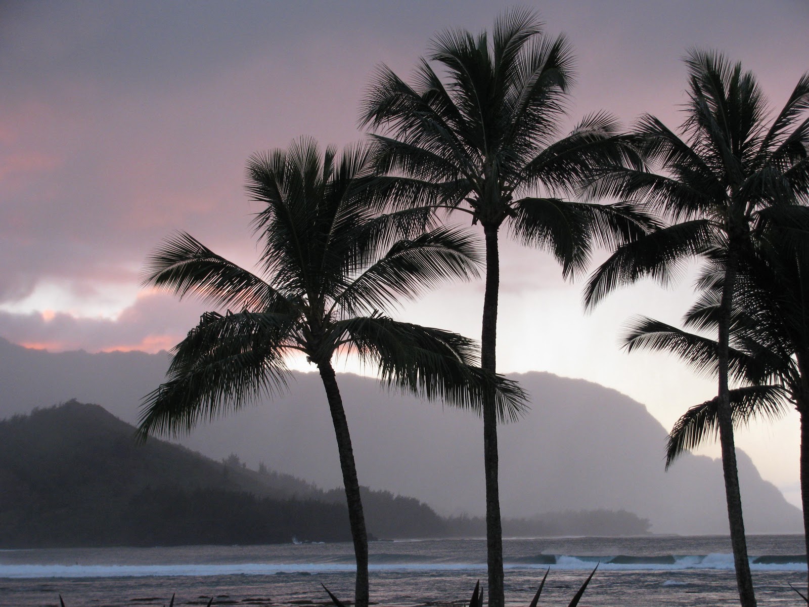
A fairly typical trade wind weather pattern, albeit on the windy side, remaining generally dry through Friday…with some increase in windward showers this weekend. Satellite imagery shows patchy stable looking low clouds to the east through northeast, being carried along in the trade wind flow…arriving along our windward sides. At the same time, we see an area of high cirrus clouds to the south of the state as well. Here’s the looping radar image, showing a few showers pushing through the state, which will likely increase a bit tonight into early Thursday morning. The windward sides will find a few generally light showers arriving at times, although nothing of consequence in terms of total amounts. The leeward sides should remain dry statewide, with more good weather gracing those south and west facing beaches Thursday. Speaking of the leeward beaches, there will continue to be higher than normal rough surf breaking, please be very careful when entering the ocean in those areas! This high surf will gradually drop into the weekend, with improving conditions by Friday.
Here at my Kula weather tower on Maui, it was partly cloudy, with near calm winds…the air temperature was 66.6F degrees – at 945pm this evening. I’ll be back with your next new weather narrative early Thursday morning, I hope your having a great Wednesday night wherever you’re spending it! Aloha for now…Glenn
World-wide tropical cyclone activity:
Atlantic Ocean/Caribbean Sea: There are no active tropical cyclones
TROPICAL CYCLONE FORMATION IS NOT EXPECTED DURING THE NEXT 48 HOURS.
Gulf of Mexico: The first tropical cyclone of the hurricane season, called Tropical Storm Andrea has spun up in the Gulf. It is located about 240 miles west-southwest of Tampa, Florida, moving northward at 10 mph. The maximum sustained wind speeds were 45 mph. Here’s the graphical track map, along with the latest satellite image for this tropical storm. As TS Andrea moves inland later Thursday, the current winds will diminish, although rainfall will accompany what’s left of this low pressure up the entire east coast.
Here’s what the forecast models are doing with this tropical storm
ELSEWHERE, TROPICAL CYCLONE FORMATION IS NOT EXPECTED DURING THE NEXT 48 HOURS
Eastern Pacific: There are no active tropical cyclones
Tropical cyclone formation is not expected during the next 48 hours
Here’s a wide satellite image that covers the entire area between Mexico, out through the central Pacific…to the International Dateline.
Central Pacific Ocean: There are no active tropical cyclones / Here’s a link to the Central Pacific Hurricane Center (CPHC)…covering our central Pacific.
No Tropical cyclones are expected through Friday evening
Western Pacific Ocean: There are no active tropical cyclones / Here’s a link to the Joint Typhoon Warning Center (JTWC), which covers tropical cyclone activity in the western Pacific, and the North and South Indian Ocean…and adjacent Seas.
South Pacific Ocean: There are no active tropical cyclones
North and South Indian Oceans: There are no active tropical cyclones
Goofcat Says:
Glenn,
Thanks again for your great site. It is really helpful for my bike commute. We are getting scattered showers and gusts in Makawao today. Any idea if this will continue into the afternoon when I ride back to Kula? Thanks~~~Hi Goofcat, looking at satellite imagery, it appears that there are more clouds upwind. I’m not sure when you head home, although I’d be prepared for some more drops later this afternoon into early this evening. Good luck, have a great ride home! By the way, I’m impressed that you ride back to Kula from Makawao, that’s all uphill! It’s sunny and dry in Kula today by the way. Aloha, Glenn